English
 Français
 Deutsch
 Español
 Català
Table of Contents
hide
Useful information leading
Motorway: 52
Trunk road: 150
Regional road: 146
Local road: 21
Wonderful half-day route linking the valleys of Bielsa (Spain) and Aure (France) through the first tunnel built between France and Spain in 1970 with a length of 3070m and at an altitude of 1664m, the tunnel is usually closed in winter.
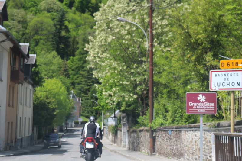
Bagnères de Luchon - is a thermal city, climatic spa, which offers beautiful landscapes, it is also known as the ``Queen of the Pyrenees``. We can visit: the Museum of the Pays de Luchon, the Chambert Baths, the Church Notre-Dame-de-l'Assomption etc.
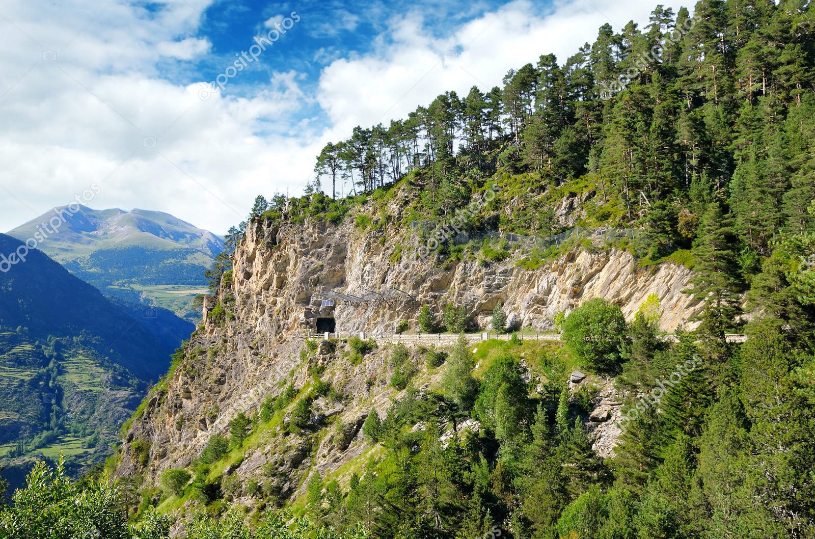
Tunnel d'Aragnouet - is the first international tunnel built between France and Spain, located in the Central Pyrenees linking the valleys of Bielsa (France) and Aure (Spain) with a length of 3070m.
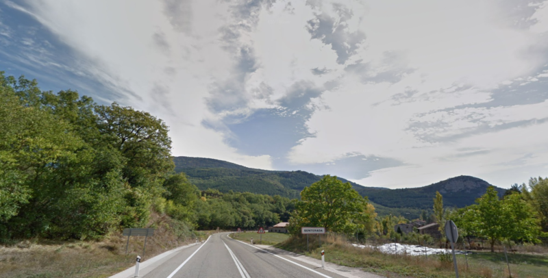
Gerri de la Sal - is a beautiful village of the Pyrenees, which is located in a narrow widening between two ditches (Arboló and Collegats) bathes the river Noguera Pallaresa. We can visit the Monastery of Santa Maria de Gerri de la Sal (Romanesque style of the twelfth century), Salinas de Gerri de la Sal (9th century) etc.
Tunnel d'Aragnouet - is the first international tunnel built between France and Spain, located in the Central Pyrenees linking the valleys of Bielsa (France) and Aure (Spain) with a length of 3070m.
Gerri de la Sal - is a beautiful village of the Pyrenees, which is located in a narrow widening between two ditches (Arboló and Collegats) bathes the river Noguera Pallaresa. We can visit the Monastery of Santa Maria de Gerri de la Sal (Romanesque style of the twelfth century), Salinas de Gerri de la Sal (9th century) etc.
Sort, Vielha, Bagneres de Luchon, Ainsa, Campo, Castejon de Sos, Pont de Suert
Google map route
Stage 1
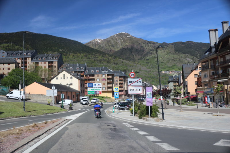
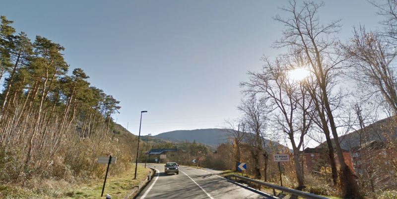
Sort - Vielha
C13, C28
1h
72.6
Km
We leave from Sort by the C13 and we continue straight along for about 30 km following the indications towards Llavorsi / La Guingueta d’Aneu. Then we continue straight along for about 34 km approx C28 following the indications for Valencia d’aneu / Salardu / Vielha. At the roundabout we take the second exit and continue for C28 about 8 km aprox. At the next roundabout we take the first exit in direction Betren and continue straight ahead for 1 km until we reach Vielha.

72.6
Km
Kilometer point
C13, C28
km
129
Stage 2
Vielha - Bagneres de Luchon
N230, D618A
34min
33.5
Km
We leave Vielha on the N230. At the roundabout we take the exit for Avenida Baile Calbeto Barra / N230 and continue straight along for about 15 km. At the next roundabout we take the second exit onto N141 and continue along this road for about 8 km. Passing the border, we hit the road D618A and we continue straight along for about 10 km until we reach Bagneres de Luchon.
106.1
Km
Kilometer point
N230, D618A
km
165
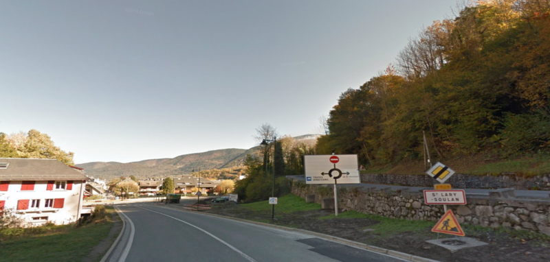
Stage 3
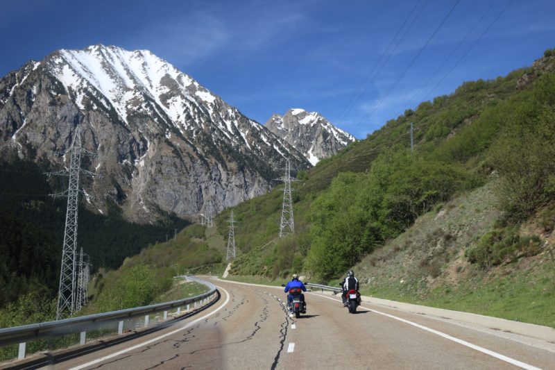
Bagneres de Luchon - Azet
D618A
41min
37.5
Km
We leave Bagneres de Luchon on the D618 road. At the roundabout we take the second exit in direction Cours de Casseyde / D618 and continue along this road about 4 km approx. Then we turn left to continue for D618 about 17 km approx. Then we turn left again towards D25 and continue along this road for about 16 km until we reach Azet.

143.6
Km
Kilometer point
Not exist
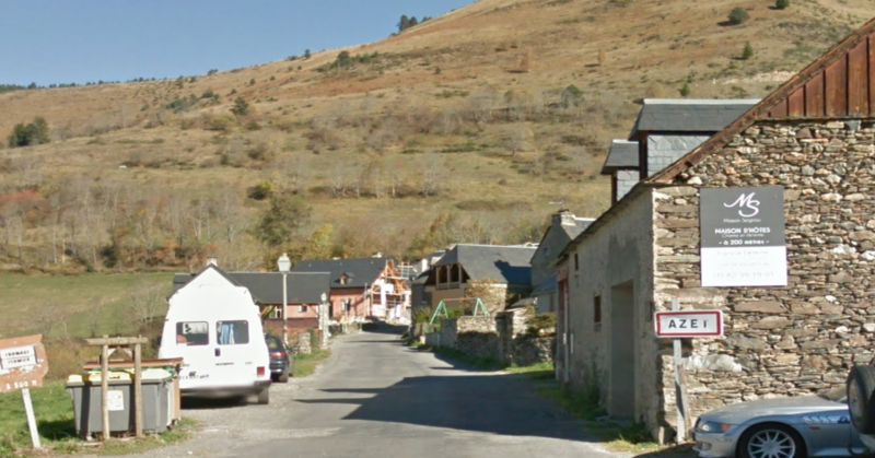
Stage 4
Azet - Saint Lary
D25
7min
5.3
Km
We leave from Azet by the D225 and we continue here for about 2 km approx. We turn left onto D25 for 1.5km approx. Then we turn right towards Le Village / Rpute de Sailhan / D25 and continue for approximately 2 km until we reach Saint – Lary – Soulan.
148.9
Km
Kilometer point
Not exist
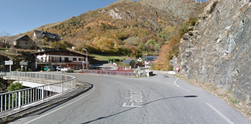
Stage 5
Saint Lary Soulan - Relais de Nouvielle
D929
8 min
8.8
Km
We leave from Saint – Lary – Soulan by the D929 and we follow the road for 9 km approx until arriving at Relais de Nouvielle. At the entrance of the village, we turn left to take the D118 road.
157.7
Km
Kilometer point
Not exist
Stage 6
Relais de Nouvielle - Chapelle des Templiers
D118
4min
3.5
Km
We leave Relais de Nouvielle on the D118 and continue straight on this road about 3.5km until we reach Chapelle des Templiers.
161.2
Km
Kilometer point
Not exist
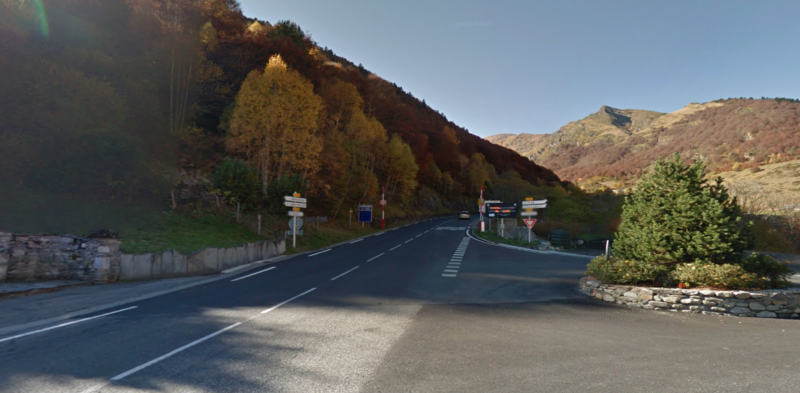
Stage 7
Chapelle des Templiers - Bielsa
D173 y A138
18.4
20.4
Km
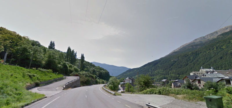
We leave Chapelle des Templiers and continue straight on for about 100m, after which we hooked with the D173 and follow it for about 8 km approx until passing the border. Then we continue straight on the A138 for about 12 km until we reach Bielsa.Then we turn right towards Calle Barrosa to enter the village.

181.6
Km
Kilometer point
Not exist
Stage 8
Bielsa - Ainsa
A138
33min
40.4
Km
We leave Bielsa by the Barrosa road and continue for about 100m, then we turn right onto A138 and continue along this road for about 23 km. At the roundabout we take the second exit in the direction of Avenida Pineta / A138 and continue for approximately 10 km, following the indications until arriving at Ainsa.
222
Km
Kilometer point
A138
km
8
Stage 9
Ainsa - Campo
N260
17min
29.2
Km
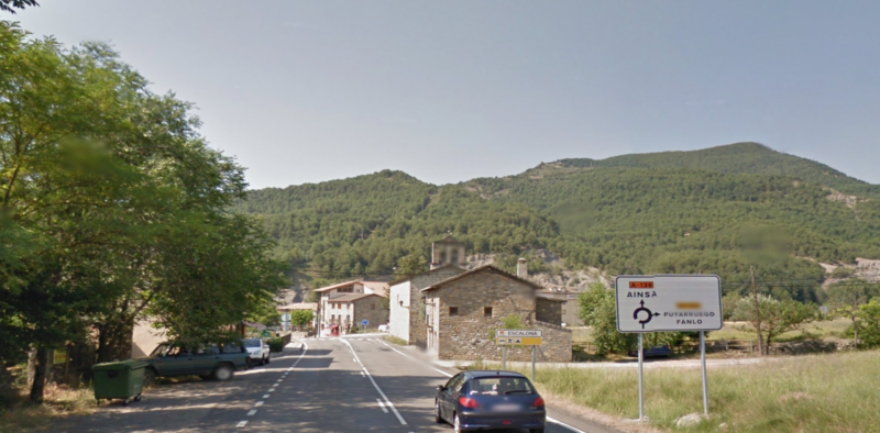
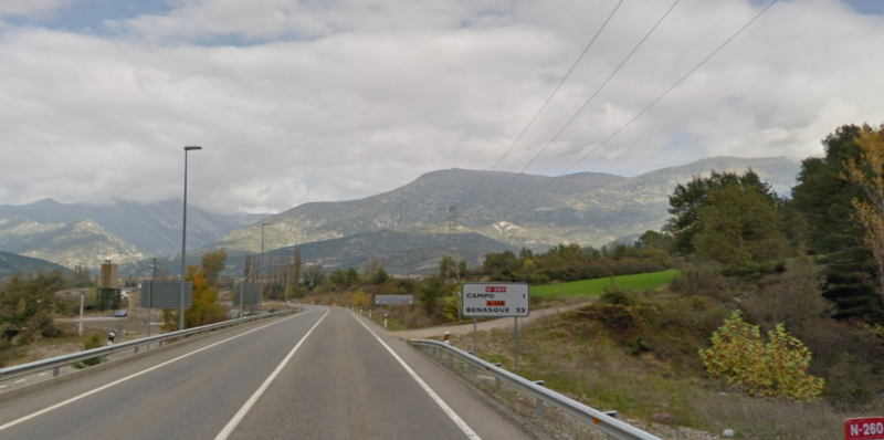
We leave Ainsa by the Central Avenue / N260 (indications for Campo) and we continue straight on for about 350m, after which we turn right towards Avenida Sudiera / N260 and we follow here about 9 km approx. Then we continue straight on the N260 about 20 km until we reach Campo.
251.2
Km
Kilometer point
N260
km
435
Stage 10
Campo - Castejon de Sos
N260
18min
19.2
Km
We leave Campo by the road Carretera / N260 (indications for Castejon de Sos / Benasque) and continue along this road about 18 km approx. Then we turn slightly to the right to continue on N260 (indications for Castejon de Sos / Pont de Suert / Vielha) and continue for about 350 m. At the roundabout we take the first exit in direction Castejon de Sos and continue for about 500 m until we reach Castejon de Sos.
270.4
Km
Kilometer point
N260
km
404
Stage 11
Castejon de Sos - Pont de Suert
N260
31min
36.8
Km
We leave Castejon de Sos on Luchon Street and follow the N260 about 31 km approx. Then we turn right onto N260 and continue straight on for about 6 km. We turn right again towards carrer del Camp de la Vila and continue straight ahead for a few meters until we reach Pont de Suert.
307.2
Km
Kilometer point
N260
km
383
Stage 12
Pont de Suert - Senterada
N260
27min
28.7
Km
We leave Pont de Suert by the avenue of Victoriano Muñoz / N230 and continue for this about 800m approx, after which we turn left towards N260. We continue along this road about 28 km, until arriving at Senterada.
335.9
Km
Kilometer point
N260
km
23
Stage 13
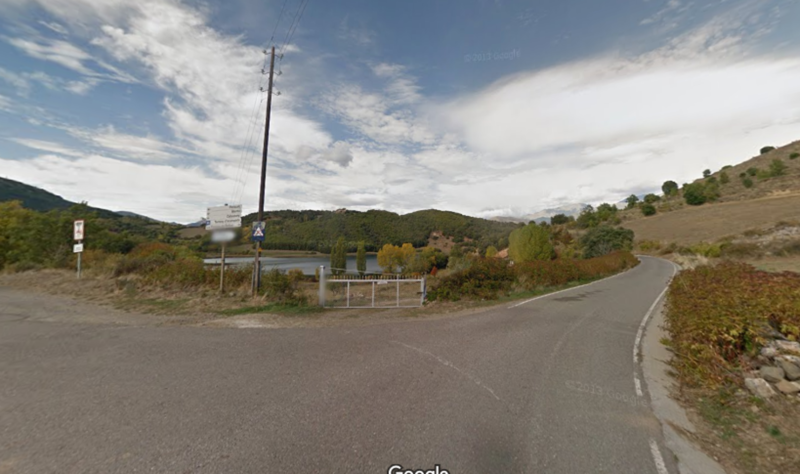
Senterada - Montcortes
L503
13min
9
Km
We leave Senterada by the avenue of Flamicell / L503 and continue along this road about 3 km approx. Then we turn right and follow the signs for about 6 km until we reach Montcortes.
344.9
Km
Kilometer point
L503
km
1
Stage 14
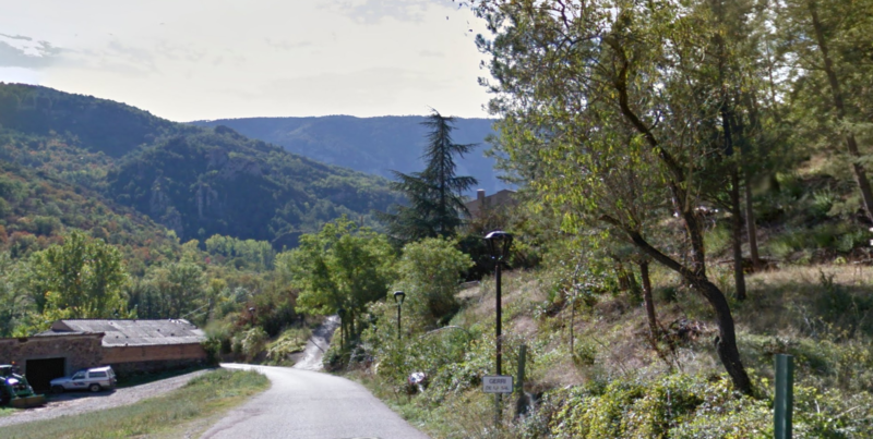
Montcortes - Gerri de la Sal
Carrer Les Vinyes
17min
11.3
Km
We left Montcortes in the northwest. We go about 80m aprox after which we turn right to continue in Llac Montcortes and continue advancing for about 250m aprox. We turn right again and continue straight ahead for about 6 km. Then we continue straight on Carrer les Vinyes for about 5 km until we reach Gerri de la Sal.
356.2
Km
Kilometer point
Not exist
Stage 15
Gerri de la Sal - Sort
N260
8min
12.4
Km
We leave Gerri de Sal on Les Vinyes street. We continue for a few meters and turn left towards Carrer Raval del Rosers / N260 and continue for the N260 about 12km approx, following the indications until arriving at Sort.
368.6
Km
Kilometer point
N260
km
292