 English
 Français
 Deutsch
 Español
 Català
Table of Contents
hide
Useful information leading
Motorway: 0
Trunk road: 137.60
Regional road: 64.60
Local road: 82.70
beautiful half-day route that passes through France and Navarra (Spain) with 360º viewpoints and dream places. It is an imprecindible route through the Basque Country, where we can enjoy the rich gastronomy and the beautiful Gothic style architecture.
Tunel de Somport - communicates France with Spain. It is the longest tunnel in Spain with a total length of 8608. of which 5759m are on the Spanish side and 2849 on the French side.
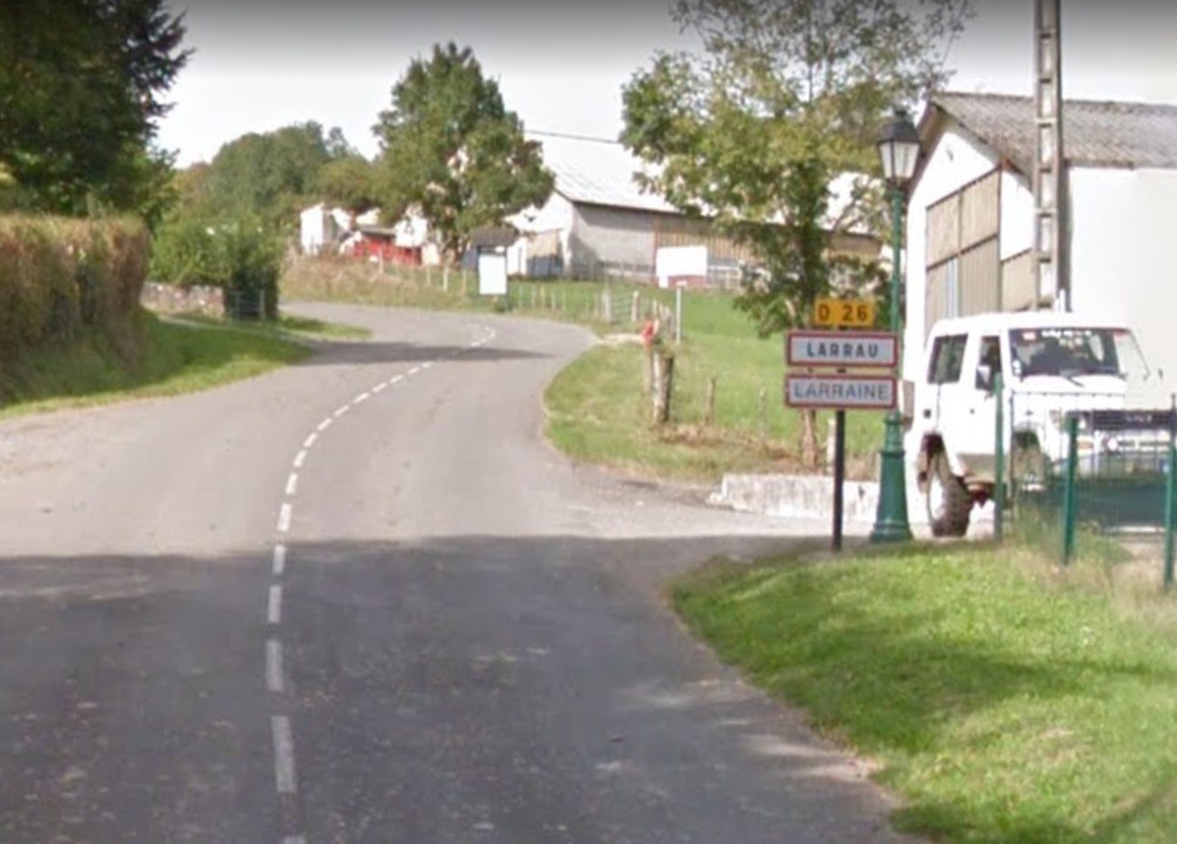
Port of Larrau - is a mountain pass on the border between France and Spain in the Western Pyrenees, between the Atlantic Pyrenees, France and Navarra (Spain). It is known as one of the ports with the toughest climb in the Pyrenees, but also with 360º viewpoints and dreamy landscapes.
Larrau - is a mountain town attached to its native land with stunning landscapes. We can visit the famous Holtzare Suspension Bridge, 150m high (a must see). We can also visit the Iraty forest, it is the largest beech forest in Europe.
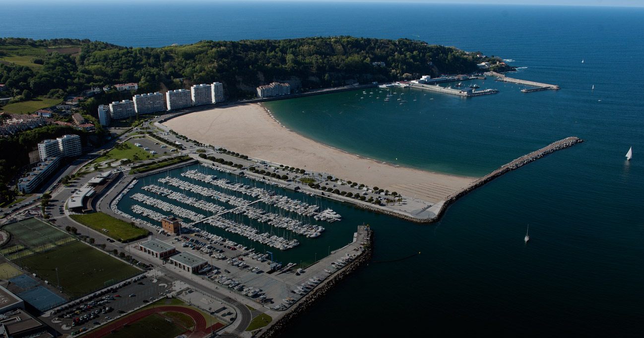
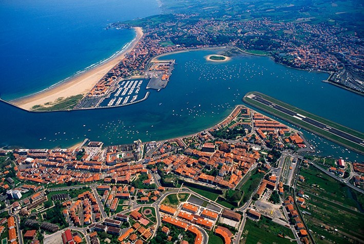
Hondarribia - is not only one of the most charming towns in the Basque Country, but it is also full of the best bars and restaurants in the region. It is a town rich in gastronomy and architecture. Here we can visit: the wall and the medieval architecture of Hondarribia, the neighborhood of La Marina, the viewpoint of Mount Jaizkibel and the hermitage of Guadalupe, the Higuer lighthouse and the incredible views of the sea, the beach of Hondarribia, we can also give a Boat trip and visit Hendaia. We can not miss the opportunity to taste the Basque gastronomy in the amazing pintxos bars or restaurants.
Port of Larrau - is a mountain pass on the border between France and Spain in the Western Pyrenees, between the Atlantic Pyrenees, France and Navarra (Spain). It is known as one of the ports with the toughest climb in the Pyrenees, but also with 360º viewpoints and dreamy landscapes.
Larrau - is a mountain town attached to its native land with stunning landscapes. We can visit the famous Holtzare Suspension Bridge, 150m high (a must see). We can also visit the Iraty forest, it is the largest beech forest in Europe.
Hondarribia - is not only one of the most charming towns in the Basque Country, but it is also full of the best bars and restaurants in the region. It is a town rich in gastronomy and architecture. Here we can visit: the wall and the medieval architecture of Hondarribia, the neighborhood of La Marina, the viewpoint of Mount Jaizkibel and the hermitage of Guadalupe, the Higuer lighthouse and the incredible views of the sea, the beach of Hondarribia, we can also give a Boat trip and visit Hendaia. We can not miss the opportunity to taste the Basque gastronomy in the amazing pintxos bars or restaurants.
Saint-Jean-Pied-de-Port, Dantxarinea, Sare, Hondarribia
Google map route
Section 1
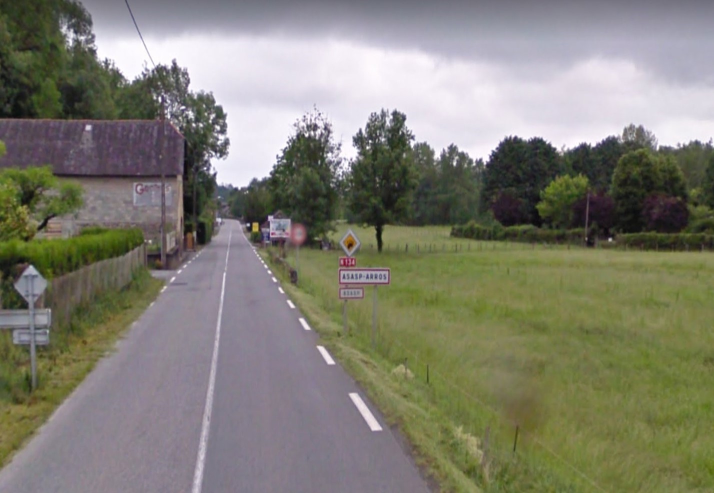
Canfranc (Tunel of Somport) - Asasp Arros
N-134
1h 7min
59.3
Km
We will head south through Tunel de Somport / E-7 and continue on this road for 1.4km. We take the exit towards Canfranc – Estación and continue on this road for 550m. We continue through Av de los Arañones / N-330a and continue on this road, entered in France, for 8.5 km approx. Then we continue through Col du Somport for 7.5 km approx. Then we turn right towards N-134 and continue on this road for 19.5 km. At the roundabout we take the second exit and continue on N-134 for 3.2 km. At the next roundabout we take the second exit and continue on N-134 for 14.5 km. Then we will take the Route du Castet and follow the signs for 2 km, until we reach Asasp-Arros.

59.3
Km
Kilometer point
N-134
km
107
Section 2
Asasp Arros - Larrau
D-918 y D-26
56min
42.6
Km
We leave Asasp Arros and we will go south on N-134 towards Route de l’École and continue on this road for 2 km. Then we turn right towards Bisarce / D-918 (directions for Lourdios – Ichere / Issor / Arette) and continue on this road for about 8 km. Then we turn right and continue on this road for 400m. Then we turn left towards Labat de Gesta and continue on this road for 3.5 km. Then we turn left to continue on D-918 (signs for Tardets / Mauléon) for 10.5 km. Then we turn left towards Omiceco – Mendia / Route de Montory / D-726 and continue on this road for 1.5 km. Then we turn left towards D-26 and continue on this road for 6 km. At the roundabout we take the first exit and continue on D-26 for about 9 km, until we reach Larrau.
101.9
Km
Kilometer point
D-918 y D-26
km
15
Section 3
Larrau - Aribe
NA-140
50min
51.7
Km
We left Larrau heading south for Village and continue on this road for 100m. We turn right to continue through Villagey for 7 m, turn left to continue through Village for 35m. Then we turn slightly to the right and continue on this road for 1.6 km. We turn right and continue on this road for 2.7km. Then we turn right towards D-26 and continue on this road for 3.5km. Then we turn right to continue on D-26 and, entering Spain, we continue on this road for 1km. Then we continue along Carretera de Ori / Carretera del Puerto de Larrau / NA-2011 and continue on this road for 11km. We turn right towards Carretera de los Valles Orientales de Navarra / NA-140 and continue on this road for 8.5km. We turn left towards Carretera de los Valles Orientales de Navarra / NA-140 and continue on this road for 1.7km. We turn right towards Calle Magdalena and continue on this road for 3.7 km. We turn right and continue on this road for 1.9 km. We turn left and continue on this road for 2.3 km. We turn right towards Carretera de los Valles Orientales de Navarra / NA-140 and continue on this road for 5.6 km. We turn left and continue on this road for 1km. Then we turn left towards Calle de San Martin / NA-2022 and continue for 400m. We keep on the right to continue on Calle Mayor / NA-2022 and continue for 850m. We turn left towards Carretera de los Valles Orientales de Navarra / NA-140 and continue on this road for 2.9 km. Then we turn right and continue on this road for 270m. We turn slightly to the right towards Calle San Gregorio and continue on this road for 130m. We turn left towards Calle Txikirrin and continue on this road for 42m. We turn left to continue along Calle Txikirrin for 100m. We turn right towards Carretera de los Valles Orientales de Navarra / NA-140 and continue along this road for 2.5 km, until we reach Aribe.

153.6
Km
Kilometer point
NA-140
km
10
Section 4
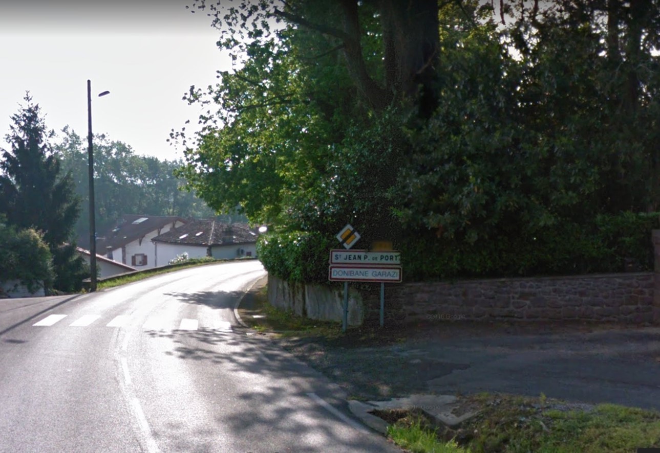
Aribe - Saint Jean Pied de Port
N-135
51min
40.9
Km
Leaving Aribe, we will head northwest on Calle Sta Maria for 54m. Then we turn left to continue on Calle Sta Maria for 37m. Then we turn right towards Carretera de los Valles Orientales de Navarra / NA-140 and continue on this road for 9km aprox. Then we turn right towards Carretera de Francia / Pamplona / N-135 and continue on this road for 4.6km. We turn right to continue on Carretera de Francia / N-135 and, entering France, we continue on this road for 19km. Then we turn slightly to the right and continue on Carretera de Francia / N-135 for 40m. At the roundabout take the second exit in the direction of D-933 and continue on this road for about 8 km. We turn slightly to the right towards Place Floquet / D-933 towards Pau / St Jean de Vieux / Donazaharre for 160m, until we reach Saint Jean Pied de Port

194.5
Km
Kilometer point
N-135
km
77
Section 5
Saint Jean Pied de Port - Ordoqui
D-15, D-949 and NA-2600
45min
31
Km
Leaving Saint Jean Pied de Port we will head southwest on Place Charles de Gaulle / D-933 towards Rue de l’Église and continue on this road for 140m. At the roundabout we take the first exit and join Place Floquet / D-933 towards Pamplona / Cambo and continue on this road for 120m. We continue along Route d’Uhart / D-918 for 700m. Then we turn left towards Route d’Ascarat / D-15 and continue on this road for 8.5 km. At the roundabout we take the fourth exit and continue on this road for 120m. At the next roundabout we take the first exit and continue on this road for 1.2 km. At the roundabout, we take the first exit towards D-948 and continue for 150m. We turn left towards Gaineko Karrika and continue on this road for 140m. We turn right towards Gaineko Karrika / D-949 and, entering Spain, we continue on this road for about 8 km. Afterwards we continue on Izpegi Highway / NA-2600 for 12 km aprox, until we reach Ordoqui.

225.5
Km
Kilometer point
D-15, D-949 and NA-2600
km
1
Section 6
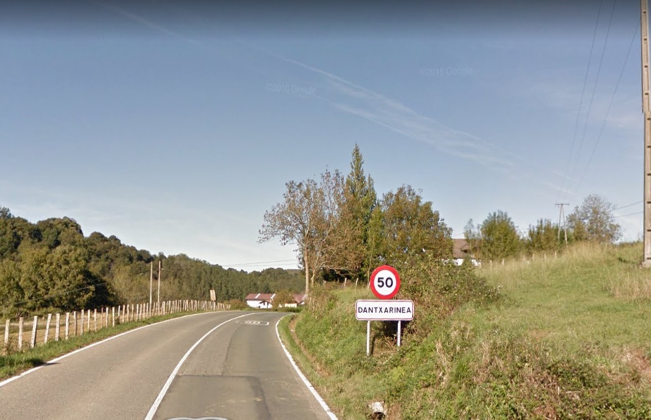
Ordoqui - Dantxarinea
N-121B
21min
17.6
Km
We leave Ordoqui heading northwest towards Barrio Ordoki / NA-2600 and continue on this road for 170m. Then we turn left towards Barrio Ordoki / Carretera de Izpegi / NA-2600 and continue for 100m approx. Then we turn right towards Carretera de Baztan / N-121B (directions for Dantxarinea) and continue on this road for 16.5km. At the roundabout we continue straight for Barrio Dantxarinea / N-121B for 800m aprox, until we reach Dantxarinea.
243.1
Km
Kilometer point
N-121B
km
71
Section 7
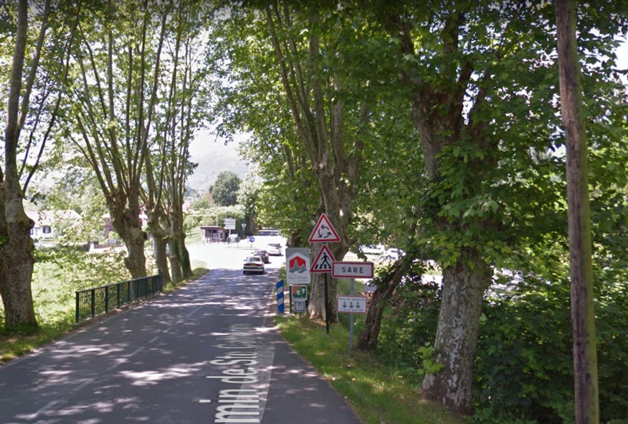
Dantxarinea - Sare
D-4
13min
10.2
Km
We left Dantxarinea heading south towards Carretera Zugarramurdi / NA-4401 and we continue here for 60m. Then we left the roundabout in Dantxarinea / N-121B neighborhood and continue straight on this road for 130m. Then we left the roundabout and, entering France, we continued straight on for 200m. At the next roundabout we continue straight on D-4 for about 6 km. Then we turn left to continue on D-4 (directions to Sare) and continue on here for 2.5 km. At the roundabout we take the first exit and continue on D-4 for 1.2 km. At the next roundabout we take the third exit and continue on this road for 350m, until we reach Sare.
253.3
Km
Kilometer point
Not exist
Section 8
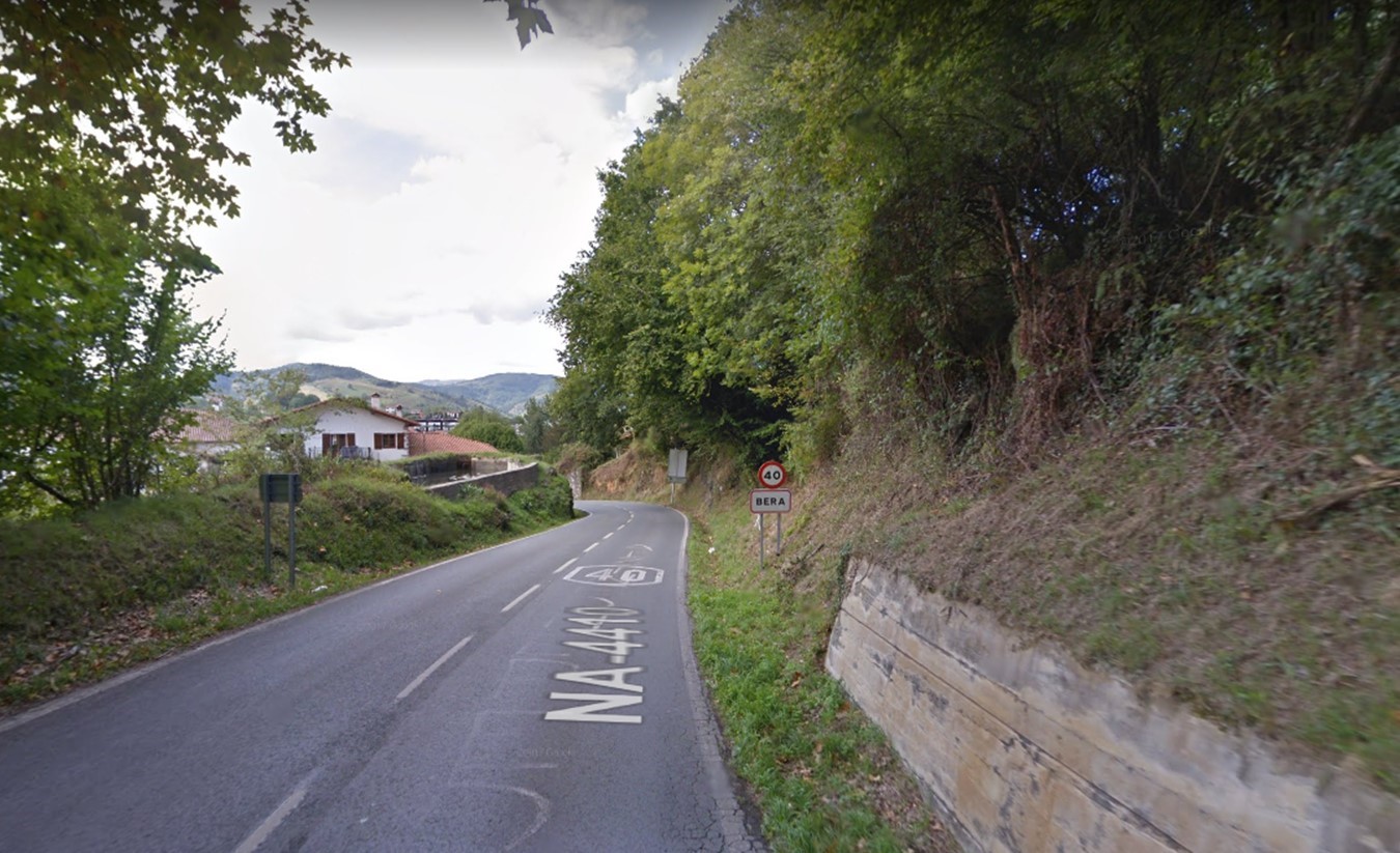
Sare - Bera
D-406 and NA-4410
17min
11.8
Km
We leave Sare heading west and continue straight for 350m. Then we turn right towards Route des Platane / D-406 and continue on this road for 37m. Then we turn left towards Route des Platane / D-406 and, entering Spain, continue straight for 6km. Then we continue along the Lizuniaga Highway / NA-4410 for 5km. We turn left towards Altzate Karrika / NA-1310 and continue on this road for 350m. At the roundabout, we take the first exit towards Kanttonberri Karrika and continue straight on this road for 80m, until reaching Bera
265.1
Km
Kilometer point
D-406 and NA-4410
km
1
Section 9
Bera - Hondarribia
N-121A
29min
19.8
Km
We leave Bera heading east towards Kanttonberri Karrika and continue on this road for 40m. Then we turn right towards Kanttonberri Karrika and continue straight on for 40m. At the roundabout we take the first exit towards Eztegara Pasealekua / NA-1310 and continue straight on for 500m. Then we turn right towards San Esteban Karrika / NA-8304 and continue on this road for 1.5km. At the roundabout we take the first exit and continue through San Esteban Karrika / NA-8304 for 550m. Then we join Carretera de Bidasoa / N-121a and continue on this road for 9 km approx. At the roundabout we take the second exit and continue on N-121a for 400m. At the next roundabout we take the second exit and continue on N-121a for 350m. We continue straight for 180m and then turn slightly to the right towards N-121a. At the roundabout we take the third exit towards Endarlaza Hiribidea / GI-636 and continue on this road for about 2 km. At the roundabout, we take the first exit and continue on GI-636 for 1.7 km. Then, we take the exit towards Irun / N-638 / Hondarribia and continue straight on for 200m. At the roundabout we take the first exit towards Mendelu Kalea / GI-2134 and continue straight on for 600m. At the next roundabout we take the first exit towards Amutalde Kalea / N-638 and continue straight on this road for 1.2 km. At the next roundabout we take the third exit towards Minasoroeta Kalea / Gi-3440 and continue straight on for 400m. At the next roundabout we take the third exit in the direction of GI-3440 and continue straight on for 500m. At the next roundabout we take the second exit and continue on GI-3440 for 450m. At the next roundabout we take the second exit towards Labreder Kalea and continue straight on for 400m. At the next roundabout we take the second exit towards Baserritas Etorbidea and continue straight on for 250m until we reach Hondarribia.

284.9
Km
Kilometer point
N-121A
km
2