 English
 Français
 Deutsch
 Español
 Català
Table of Contents
hide
Useful information leading
Motorway: 44
Trunk road: 148
Regional road: 358
Local road: 0
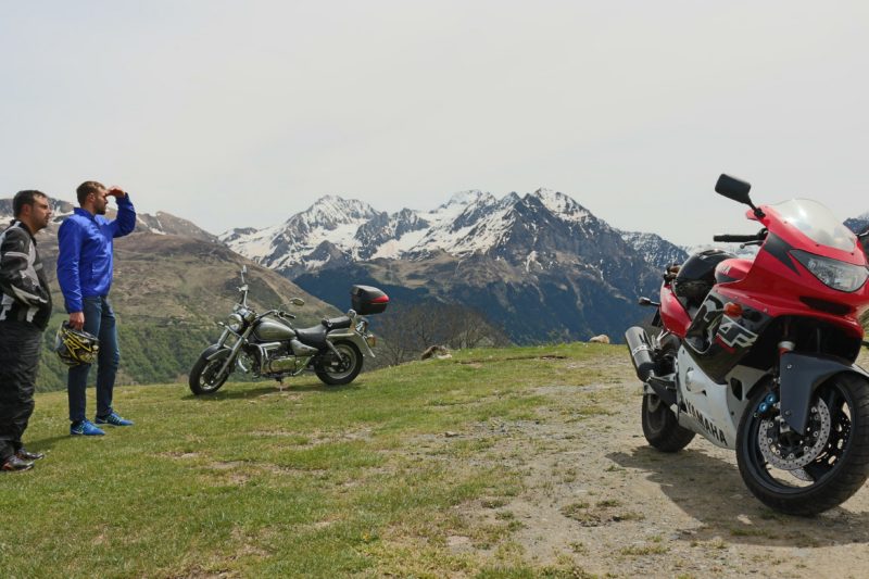
Compulsory and mythical route of the French and Spanish Pyrenees. It passes through places as incredible and recognized as the tourmalet and near the national park of Ordesa and Monte lost. The recommendation is to do it in summer to be able to pass through the incredible Col d'Aubisque which closes it in autumn-winter because of the snow and has schedule to go in direction Aubisque -> Sulor from 13:00 to 20:00 and Sulor -> Aubisque from 6:00 a.m. to 1:00 p.m. and from 8:00 p.m. to 6:00 p.m. closed all year round.
Col du Tourmalet - is the best known port in the world for cyclists in the Tour de France
Col d'Aubisque - is a usual step of the Tour de France, with a constant viewpoint and stunning views
Pont de Suert - is a commercial, administrative and service center. It has an important historical past, which was established during the high Middle Ages. We can visit: The Plaza Mayor, the Abbey Palace, the Lavaix Monastery, etc.
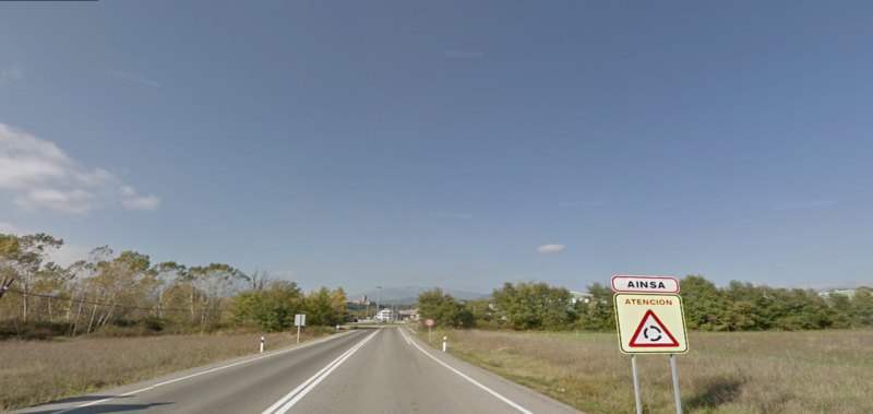
Aínsa - is a privileged place, located between the two rivers Cinca and Ara. Aínsa was declared a Historic - Artistic Monument. We can visit: the fantastic Main Square Porticada, the Castle, the Parochial Church of Santa María (Romanesque style) etc.
Col d'Aubisque - is a usual step of the Tour de France, with a constant viewpoint and stunning views
Pont de Suert - is a commercial, administrative and service center. It has an important historical past, which was established during the high Middle Ages. We can visit: The Plaza Mayor, the Abbey Palace, the Lavaix Monastery, etc.
Aínsa - is a privileged place, located between the two rivers Cinca and Ara. Aínsa was declared a Historic - Artistic Monument. We can visit: the fantastic Main Square Porticada, the Castle, the Parochial Church of Santa María (Romanesque style) etc.
Gas station in Rialp (on the same road), Vielha (on the same road), Le Relais des Pyrenees gas station in Lus saint saveur (on the same road), Repsol in Formigal (on the same road), Cepsa service station in Ainsa (Inside the village), gas station Cepsa in Pobla de Segur (on the same road)
Google map route
Stage 1
Sort - Vielha
C-13 y C-28
1h
72.7
Km
We leave from Sort by the C13 and follow this road about 30 km aprox. Afterwards, we continue along the same road, but we hit the C28 and follow the indications to Vielha about 35 km aprox.
At the roundabout, we take the second exit and continue along the C28 for another 9 km until we reach Vielha.
At the roundabout, we take the second exit and continue along the C28 for another 9 km until we reach Vielha.

72.7
Km
Kilometer point
C-13 y C-28
km
129
Stage 2
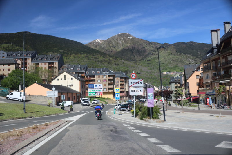
Vielha - Bossost
N-230
11min
15
Km
We leave Vielha on the C28. We leave the roundabout on Avenida Baile Calbeto Barra / N230 and continue along this road for about 15 km. At the next roundabout we take the first exit and continue for about 600m along this road until we reach Bossost.

87.7
Km
Kilometer point
N-230
km
165

Stage 3
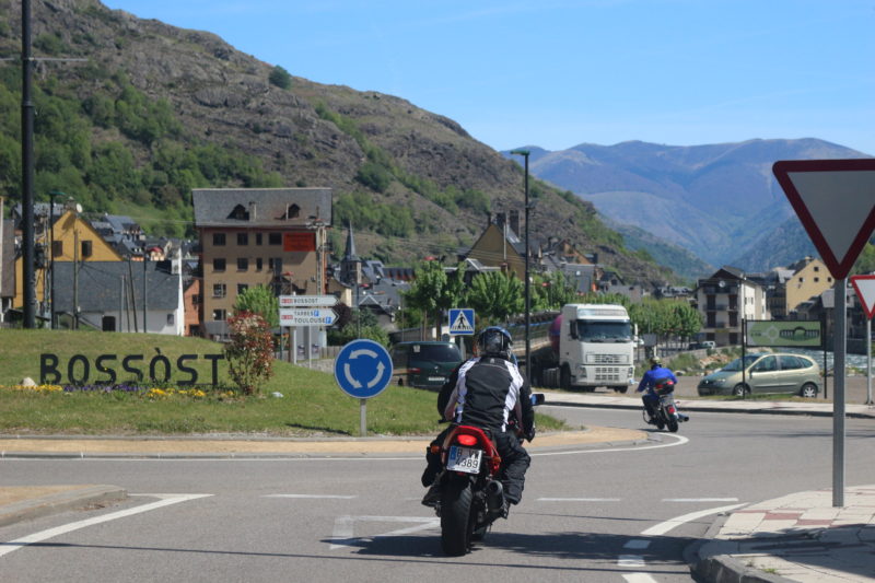
Bossost - Banyeres de Luchon
D618A
25min
19
Km
We leave Bossost on the D618A and continue along this road for 19 km until reaching Banyeres de Luchon.
106.7
Km
Kilometer point
D618A
km
1
Stage 4
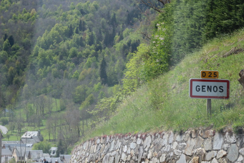
Banyeres de Luchon - Genos
D618
27min
25.2
Km
We leave Banyeres de Luchon on the D618. At the roundabout we take the second exit in direction Cours de la Casseyde. After approximately 4 km, we turn left and continue along the D618 for about 20 km approx, until we reach Genos.

131.9
Km
Kilometer point
Not exist
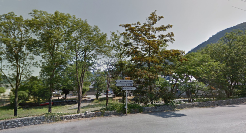
Stage 5
Genos - Bourisp
D25
25min
18.1
Km
We leave Genos on the D25 and continue along this road about 6 km aprox.Then we turn right onto D225 and continue for about 7 km. Then we turn left onto D25 and follow the signs until we reach Bourisp.

150
Km
Kilometer point
Not exist
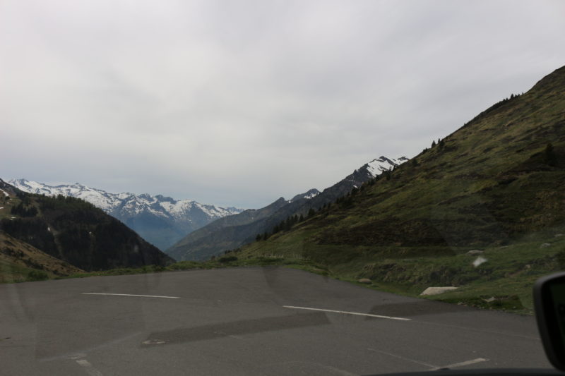
Stage 6
Bourisp - Col de Tourmalet
D113
58min
38.6
Km
We leave Bourisp on the D113 and continue along this road about 26km aprox. Then we turn left in the direction of Lartigue / D918 and follow the signs for Lartigue about 8 km approx. We follow the D918 about 5 km further direction Col du Tourmalet.
188.6
Km
Kilometer point
Not exist
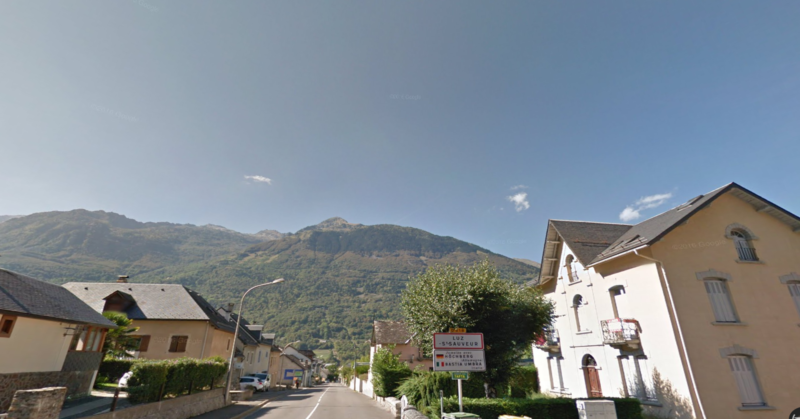
Stage 7
Col du Tourmalet - Luz Saint Sauveur
D918
34min
24.1
Km
We leave Col du Tourmalet on the D918 road and continue for about 24 km until arriving at Luz Saint Sauveur.
212.7
Km
Kilometer point
Not exist
Stage 8
Luz Saint Sauveur - Argeles Gazost
D921
18min
18.1
Km
We leave Luz Saint Sauveur by D921 and continue along this road 11 km approx. At the roundabout we take the second exit in the direction of Route de Luz and continue for about 2 km. At the next roundabout, we take the second exit in direction Avenue Jean Moulin and continue along this road approx 5 km. At the next roundabout, we take the second exit in direction D918 and continue along this road for 600m until we reach Argeles Gazost.
230.8
Km
Kilometer point
D921
km
15
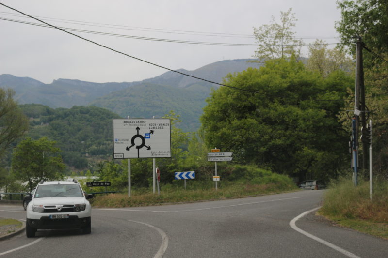
Stage 9
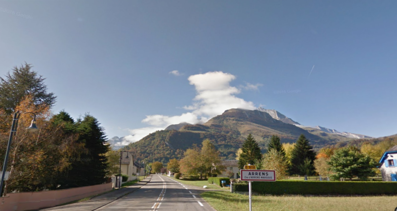
Argeles Gazost - Arrens Marsous
D918
14min
11.9
Km
We leave Argeles Gazost by the D918 road and continue along this road following the signs until arriving at Arrens Marsous.
242.7
Km
Kilometer point
D918
km
20
Stage 10
Arrens Marsous - Formigal
D918 y D934
1h20min
66.9
Km
We leave Arrens Marsous on the D918 road and continue for about 33km approx. Then we turn left onto D934 and continue along this road until we reach Formigal, about 32 km approx.
309.6
Km
Kilometer point
D918 y D934
km
9
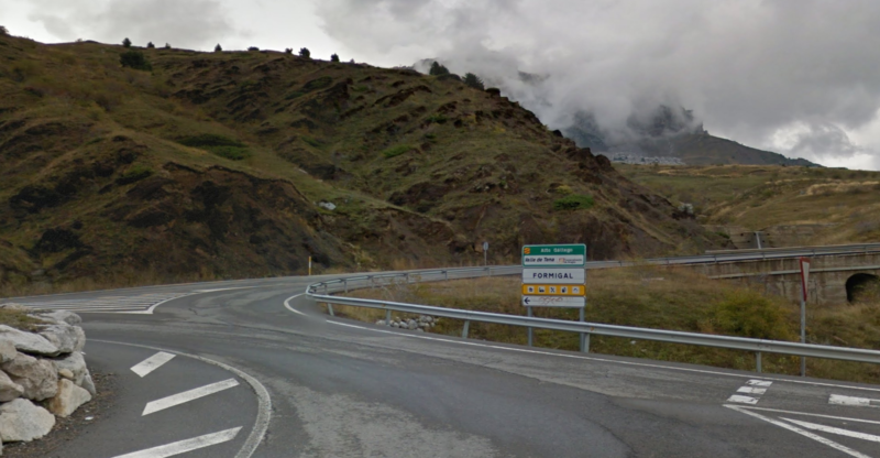
Stage 11
Formigal - Biescas
A136
18min
22
Km
We leave Formigal on the A136. At the roundabout we take the first exit and continue along this road about 21 km. Then we turn left onto N260 and follow the signs to reach Biescas about 600 m approx.

331.6
Km
Kilometer point
A136
km
1
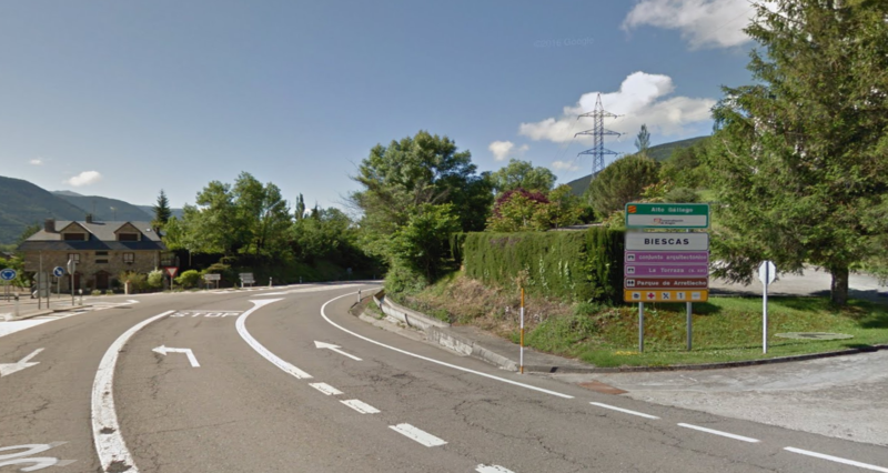
Stage 12
Biescas - Sarvise
N260
33min
30.3
Km
We leave Biescas on the N260 and continue along this road about 30 km until arriving at Sarvise.
361.9
Km
Kilometer point
N260
km
503
Stage 13
Sarvise - Ainsa
HU-631
1h
44.6
Km
We leave Sarvise on the HU-6314 road and continue along this road for approximately 34 km. We pass through the Ordesa National Park and the lost mountain. At the roundabout we take the first exit in the direction of Pineta / A138 and continue straight for about 10 km until we reach Ainsa.
406.5
Km
Kilometer point
HU-631
km
474
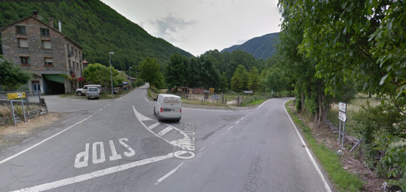
Stage 14
Ainsa - Pont de Suert
N260 y A1605
54min
76.9
Km
We leave Ainsa on the N260 and continue along this road for about 30 km. Then we turn right onto HU-V-9601 and continue along this road for about 18 km. Then we turn right onto A-1605 and continue along this road for about 22 km. Then we turn right onto N260 and follow signs for Pont de Suert about 8 km approx.

483.4
Km
Kilometer point
N260 y A1605
km
435
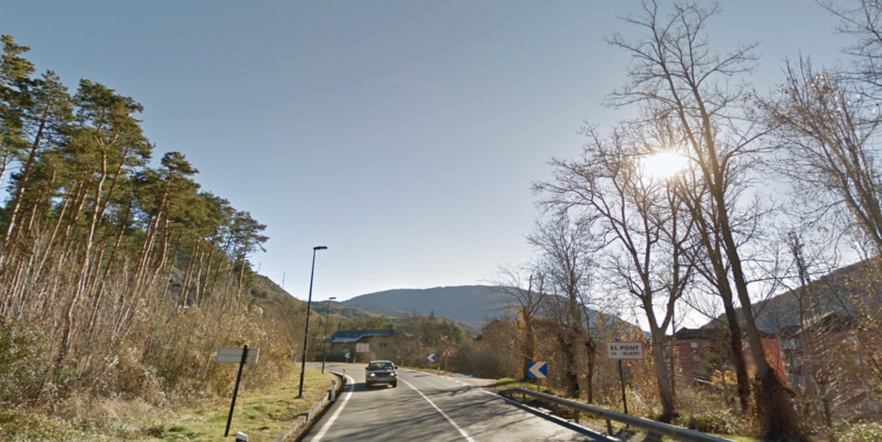
Stage 15
Pnt de Suert - La Pobla de Segur
N260
34min
38.8
Km
We leave Pont de Suert on the N230 and continue along this road about 900m approx. Then we turn left onto N260 for about 37 km until we reach Pobla de Segur.
522.2
Km
Kilometer point
N260
km
347
Stage 16
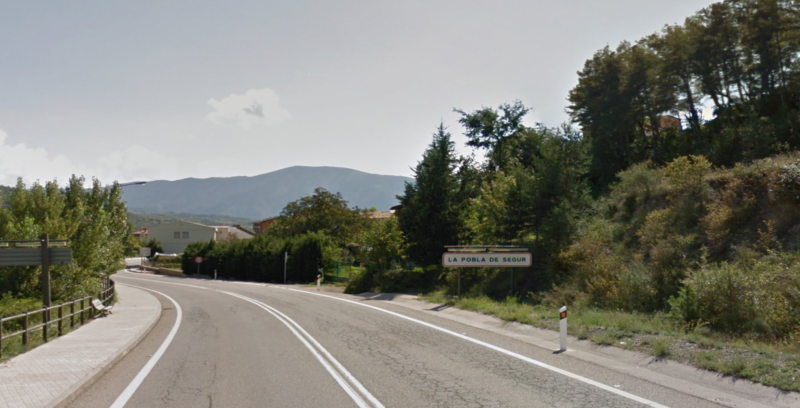
Pobla de Segur - Sort
N260
18min
27
Km
We leave Pobla de Segur on the N260 and follow this road to the direction of Sort about 27 km approx.
549.2
Km
Kilometer point
N260
km
307