 English
 Français
 Deutsch
 Español
 Català
Table of Contents
hide
Useful information leading
Motorway: 87.1
Trunk road: 45.7
Regional road: 187.3
Local road: 0
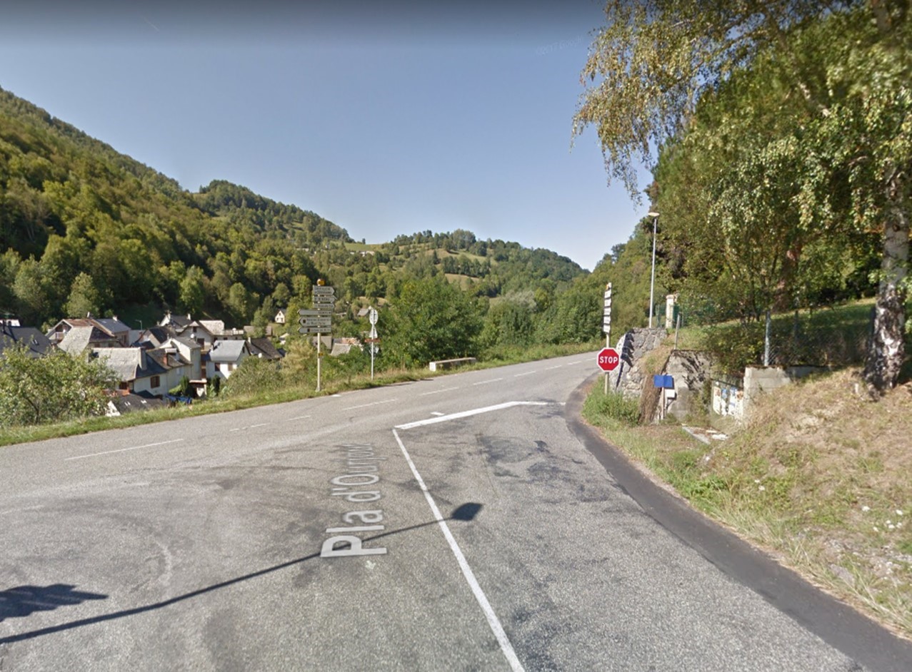
Pyrenean route that passes through the Portet d'Aspet col, well known for the tour of France. On this route we can enjoy many endless curves and landscapes.
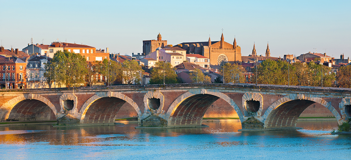
Toulouse - is the pink city that seduces, attracts and retains. This European metropolis owns due to its proximity to Spain, a Latin temperament and a noble architecture. We can visit: The Place du Capitole (which is the heart of the city of Toulouse), the Romanesque Basilica of St Sernin (one of the largest Romanesque churches in southern France), the Rue de Tour (the most picturesque street in Toulouse) ), the Garonne River (which is a fundamental part of the urban landscape of Toulouse).
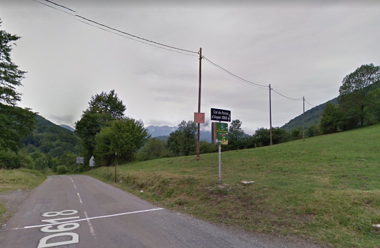
Col de Portet d'Aspet - is a beautiful mountain pass with endless views and many curves, is well known for the Tour de France.
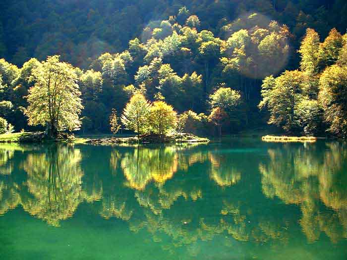
Lac de Bethmale - is located at 1074 m altitude, in the heart of the Regional Natural Park of the Pyrenees of Ariege. It has a splendid natural environment and is the ideal place to oxygenate.
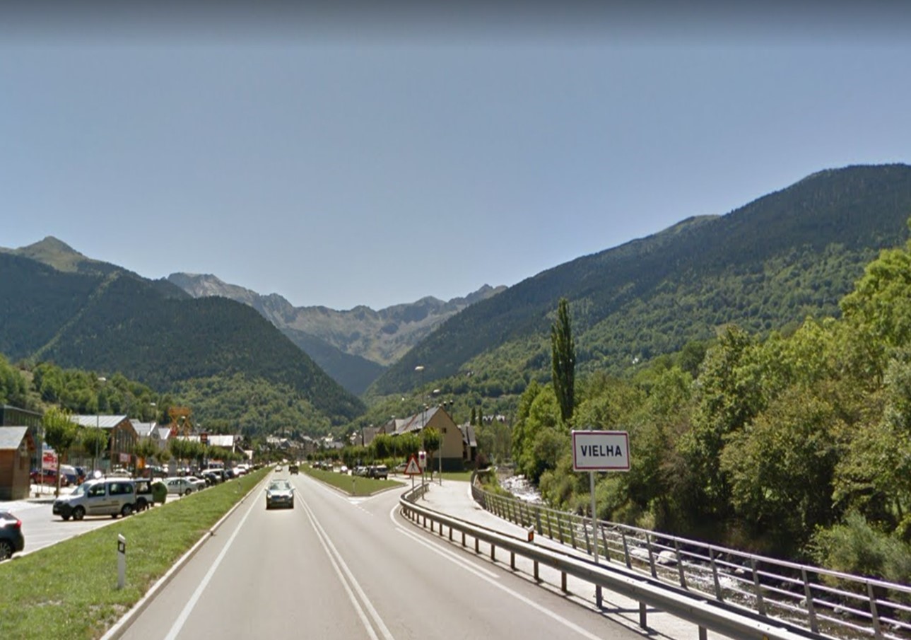
Vielha - is a small Pyrenean city, whose streets and buildings have formed an interesting commercial center. We can visit the Ice Palace, the Parish Church of Sant Miqueu, the old town, etc.
Col de Portet d'Aspet - is a beautiful mountain pass with endless views and many curves, is well known for the Tour de France.
Lac de Bethmale - is located at 1074 m altitude, in the heart of the Regional Natural Park of the Pyrenees of Ariege. It has a splendid natural environment and is the ideal place to oxygenate.
Vielha - is a small Pyrenean city, whose streets and buildings have formed an interesting commercial center. We can visit the Ice Palace, the Parish Church of Sant Miqueu, the old town, etc.
Toulouse, Vielha, Sort
Google map route
Stage 1
Toulouse - Foix
A66
1h 7min
87.1
Km
We left from the Capitol of Toulouse towards Place du President Thomas Wilson. We turn right towards Rue des Trois Journées and within 60m we continue straight on Rue de la Colombette for 700m. We turn right towards Boulevard de la Gare and use the right lane to take the ramp towards Port Saint Sauveur. We continue straight for about 2 km and then turn right towards Boulevard de la Méditerranée which we continue for 2.5 km. Then we use the right lane to follow the indications to A61 / A62 / Montpellier and at the roundabout take the second exit A-620 in the direction A61 / A62 / Montpellier. We join A620 and continue for 3 km approx. We continue on A61 for about 19 km. Then we keep right at the fork to continue on A-66 / E9, following the signs of Foix, for 39 km approx. After we joined E9, which we followed for 15 km approx. We take exit 10 towards Foix. At the roundabout we take the second exit towards D919 and continue on this road for about 5 km, until we reach Foix.

87.1
Km
Kilometer point
A66
km
48
Section 2
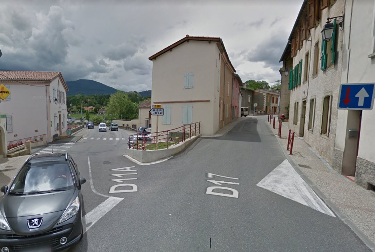
Foix- Brassac
D17 and D11A
11min
8.1
Km
We left Foix by Cours Gabriel Fauré / D117. After 350m we turn left towards Rue du Faubourg Planissoles / D17. After 350m, at the roundabout we take the second exit towards Rue de la Résistance / D17 and continue on this road for about 4 km. After we turn left towards Pont de Saint Pierre / D11A and continue on this road for approximately 3.5 km, until we reach Brassac.

95.2
Km
Kilometer point
Not exist
Section 3
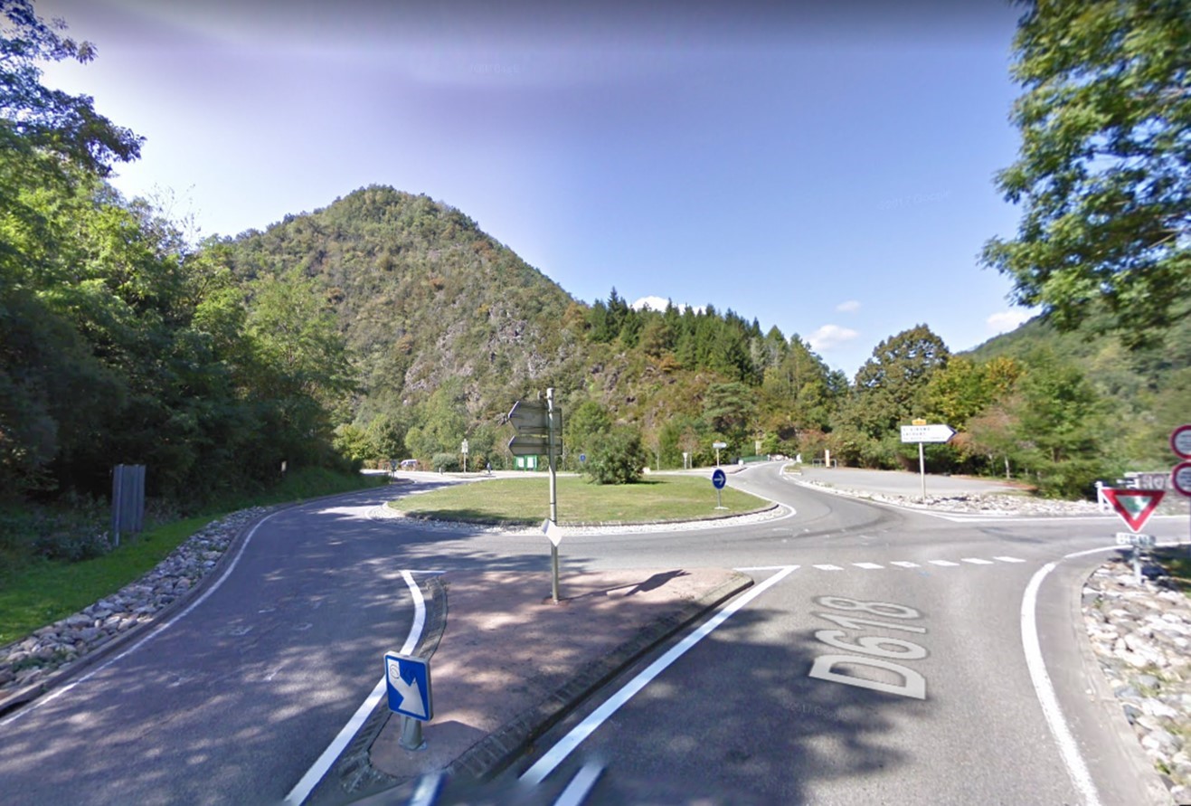
Brassac - Seix
D618 and D17
1h 16min
52.1
Km
We left Brassac by the D21 and continue on this road for about 4 km. Then we turn left towards La Mouline / D17 and continue on this road for 21.5 km. We turn right towards La Navette / D618 (directions for Massat) and continue straight on for 21 km. At the roundabout we take the third exit in the direction of D3 and continue straight on for about 6 km until reaching Seix.

147.3
Km
Kilometer point
D618 and D17
km
35
Section 4
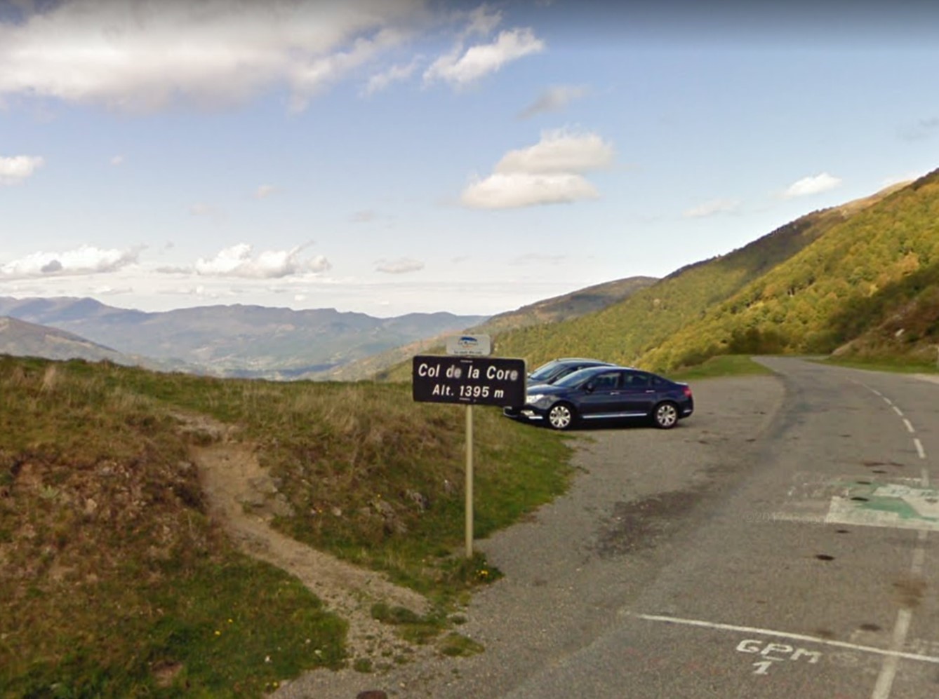
Seix - Col de la Core
D17
23min
13.9
Km
We left Seix by the Rue d’Ille. In a few meters, we turn left towards Rue Pujol / D17 and continue on this road for 4.5km. Then we turn left again towards Cagomil / D17 and continue on this road for about 9 km, until we reach Col de la Core.

161.2
Km
Kilometer point
Not exist
Section 5
Col de la Core - Lac de Bethmale
D17
9min
5.2
Km
Passing Col de la Core, we continue straight for about 1 km. Then we turn left towards La Core / D17 and continue on this road for about 4 km until reaching Lac de Bethmale.

166.4
Km
Kilometer point
Not exist
Section 6
Lac de Bethmale - Audressein
D17
19min
12.6
Km
Passing through Lac de Bethmale, we continue straight on the D17 for 6.7km. Then we turn left towards Aret / D17 and continue on this road for about 3 km. After we turn right towards La Hounade / D4 and continue on this road for 3 km, until we reach Audressein.

179
Km
Kilometer point
Not exist
Section 7
Audressein - Augirein
D618
13min
11
Km
We left Audressein by Rue d’Argein. After 400m we turn slightly to the right towards D618 and continue on this road for 5 km. After we turn right towards Las Vignes / D617 and continue straight for 5.3 km, until we reach Augirein.
190
Km
Kilometer point
Not exist
Section 8
Augirein - Col de Portet d'Aspet
D618
12min
7.6
Km
Leaving Augirein, we continue straight on the D618 for 7.6 km, until we reach Col de Portet d’Aspet.

197.6
Km
Kilometer point
Not exist

Section 9
Col de Portet d'Aspet - Station du Mourtis
D618 and D44
28min
16.8
Km
Passing Col de Portet d’Aspet, we turn left towards D618 and continue on this road for approximately 4.5 km. Then we turn slightly to the left towards D85 and continue on this road for about 4 km. Then we continue on the D44 and follow the indications of this road for about 7 km. After we turn left towards Col de L’Agus / D44J and continue on this road for about 1 km, until we reach Station du Mourtis.
214.4
Km
Kilometer point
Not exist
Section 10
Station du Mourtis - Les
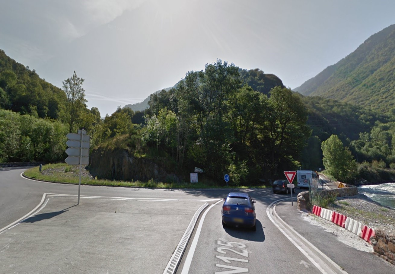
D44 and N125
33min
26.7
Km
We left Station du Mourtis at Les Carraous / D-44J and continue straight on for 1.3 km. After that we turn totally to the left towards D44 and continue on this road for 3.7 km. We turn right towards Rouge / D44 and continue straight for 6 km. Continue through Savi / D44E for 350m. Then we turn left towards Avenue Général de Gaulle / N-125 and continue on this road for 5.5 km. At the roundabout we take the second exit towards Plaine d’Artigue Mousquan / N-125 and continue straight for 2 km. At the next roundabout we take the first exit and continue on the N-125 for 2.5 km more. Afterwards we continue straight on Carretera Lleida – Vielha / N-230 for 5.3 km, until we reach Les.
241.1
Km
Kilometer point
Not exist
Section 11
Les - Vielha
N230
19min
19
Km
We left Les by Calle de San Jaime / N-230. At the roundabout we take the first exit towards N-230 and continue for 12.5 km approx. At the next two roundabouts we take the first exit and continue on the N-230 for 5.5 km, until we reach Vielha.
260.1
Km
Kilometer point
N230
km
165
Section 12
Vielha - Sort
C28 and C13
58min
71
Km
We leave Vielha on C28. At the roundabout we take the second exit in the direction of Carretera Betren / C28 and continue for about 6 km. At the next roundabout we take the second exit and continue on the C28 for about 36 km approx. Then we continue on the C13 for about 29 km, following the signs to La Guingueta d’Aneu / Sort, until we reach our destination.
331.1
Km
Kilometer point
C28 and C13
km
26