 English
 Français
 Deutsch
 Español
 Català
Table of Contents
hide
Useful information leading
Motorway: 0
Trunk road: 128.1
Regional road: 47.3
Local road: 231.4
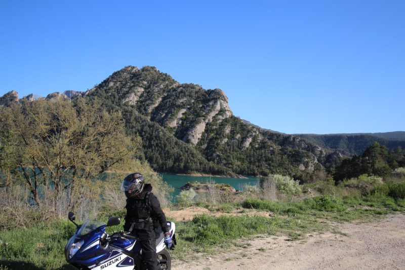
A beautiful mountain route where we can enjoy many curves, extraordinary landscapes and very well preserved villages such as Puigcerda.
Puigcerdá - is an important commercial and hotel center on a large terrace overlooking the Segre River. We can visit the Estany and Parc Schierbeck, a beautiful place to get lost and where the seasons encourage and configure changing landscapes worthy of being visited, and the Tower-Bell Tower of the Church of Santa Maria, is one of the symbols of the city , and stands imposing to be seen from anywhere in the town.
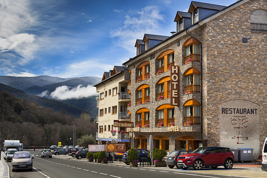
La Molina - is one of the emblematic ski resorts located in the Catalan Pyrenees (Girona) from which we can enjoy wonderful views of the Cerdanya. In La Molina, several international sports events have been held. We can do a lot of activities both in summer and in winter.
San Lorenzo de Morunys - is a municipality of Vall de Lord, at the foot of the mountain range of Port del Comte. It constitutes a tourist center for its scenic beauty and its historical and artistic monuments. It conserves its medieval structure formed by a walled enclosure in the shape of an irregular pentagon. We can visit the 11th century Romanesque Parochial Church (which was declared a historical-artistic monument in 1976) and the Lord Valley Museum.
Pobla de Segur - is the second population in importance of Pallars Jussa. Here we can taste the best craft beer of the Pyrenees, in the C13 Beer Factory.
Puigcerdà, La Seu d'Urgell, Tremp
Google map route
Stage 1
Sort - La Seu d'Urgell
N260
42min
51
Km
We left Sort for the C13 and continue for a few meters. When we reach the bridge, we turn left on the N260 and continue straight for 45 km approx. At the roundabout we take the second exit towards La Seu d’Urgell and continue straight on the N260 for 6 km, until we reach the Seu d’Urgell.

51
Km
Kilometer point
N260
km
279
Stage 2
La Seu d'Urgell - Puigcerda
N260
46min
49.1
Km
Leaving Seu d’Urgell, we will head northeast on the Pirenaico / N260 axis and continue along this road for a few meters. At the roundabout we take the second exit and continue along the Pirenaico / N260 axis for about 30 km. In the next two roundabouts we also take the second exit in direction Pirenaico Axis / N260 and continue on this road about 16.5 km. At the next roundabout we take the second exit, towards N154, and continue along this road for approximately 500m, until we reach Puigcerda.

100.1
Km
Kilometer point
N260
km
181
Stage 3
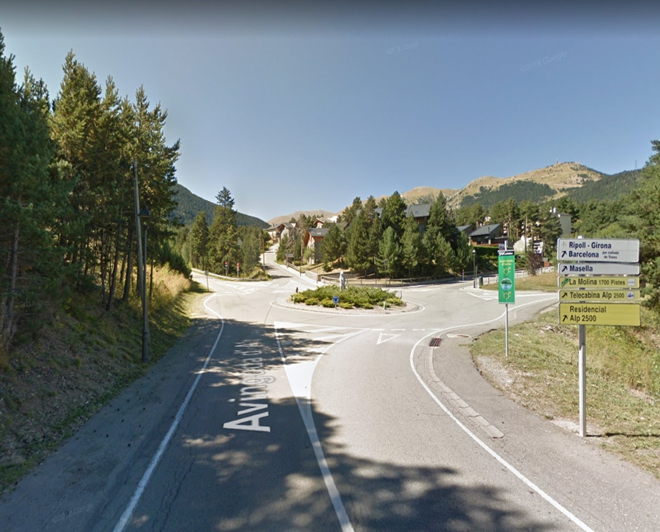
Puigcerda - La Molina
GIV-4082
24min
19.1
Km
We left Puigcerda by the N154. At the roundabout we take the third exit towards Pirenaico Axis / N260 / E9 and continue along this road 6.5 km approx. Then we turn left towards GIV-4082 (signs for La Molina) and continue on this road for about 7 km. We continue straight on the Avinguda d’Olp about 4 km approx. At the roundabout we take the second exit in the direction of GIV-4082 and continue along this road for about 1 km, until we reach La Molina.

119.2
Km
Kilometer point
Not exist
Stage 4
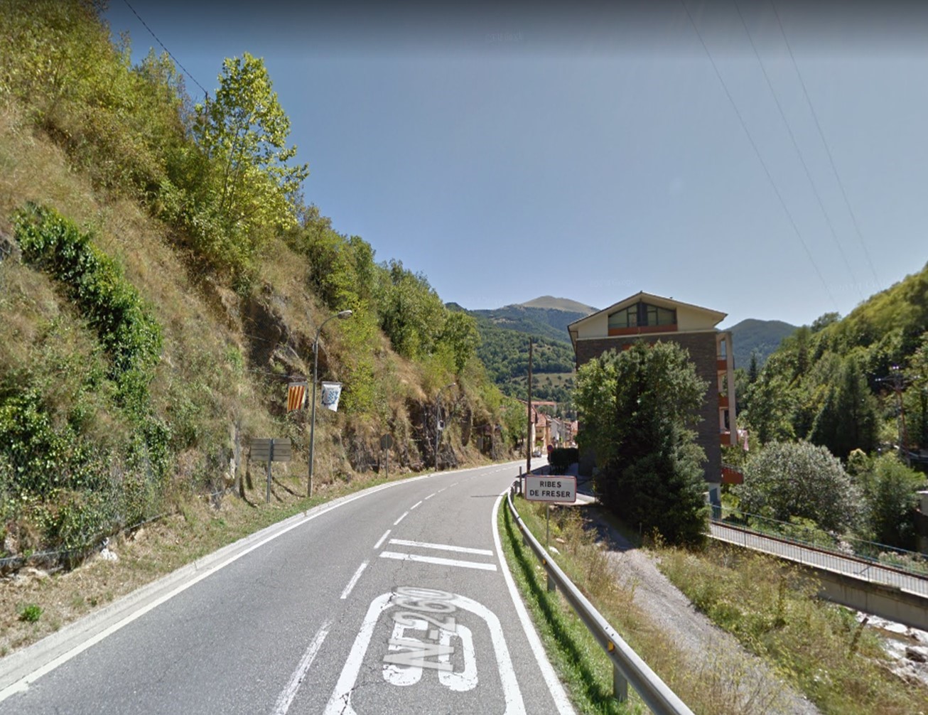
La Molina - Ribas de Freser
GIV-4016 y N-260
38min
26.9
Km
We left La Molina by the GI-400 and continue on this road for about 6 km. Then we turn right towards Carretera de Toses and continue for about 4 km. At the roundabout we continue straight on the GI-4016 for 8.5 km approx. Then we turn slightly to the right towards Pirenaico Axis / N-260 and continue on this road for about 8 km until reaching Ribas de Freser.

146.1
Km
Kilometer point
GIV-4016 y N-260
km
131
Stage 5
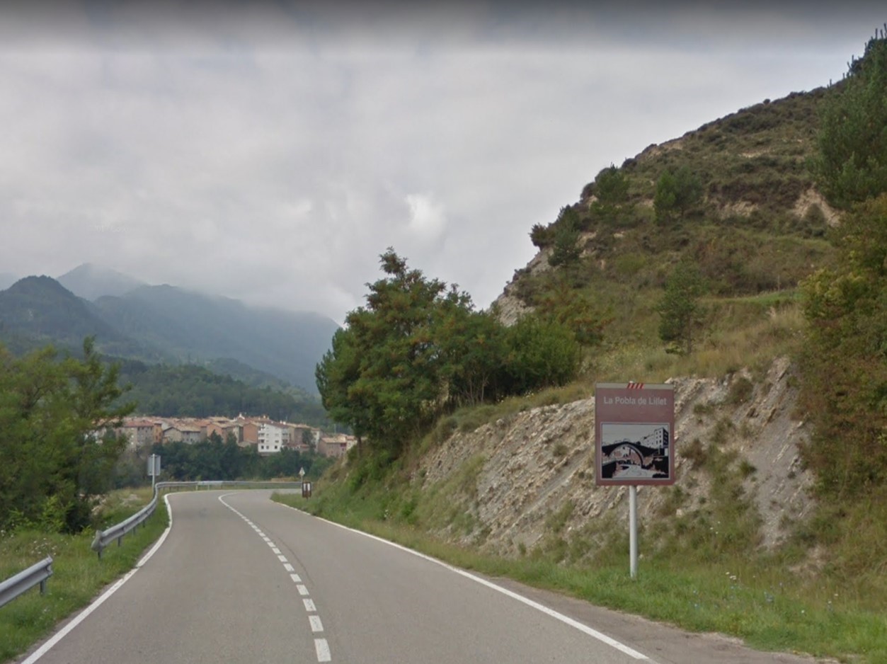
Ribas de Freser - La Pobla de Lillet
GIV-401 y B-402
48min
33.6
Km
We left Ribas de Freser in Passeig d’en Salvador Mauri. At approx 350m we turn right towards GIV-5263. After 30m, we turn left towards Pirenaico Axis / N260 and continue on this road for about 10 km. Then we turn right towards Carretera Gombren (directions for Gombren / La Pobla de Lillet) and continue on this road for about 8.5 km. We keep on the right to continue on the GI-402 for about 8 km. Afterwards, we continue straight on the B-402 for about 7 km until we reach La Pobla de Lillet.

179.7
Km
Kilometer point
GIV-401 y B-402
km
10
Stage 6
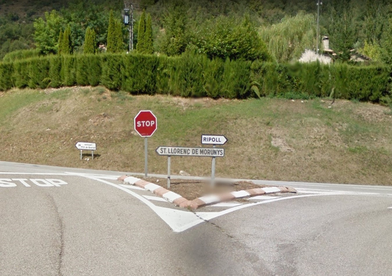
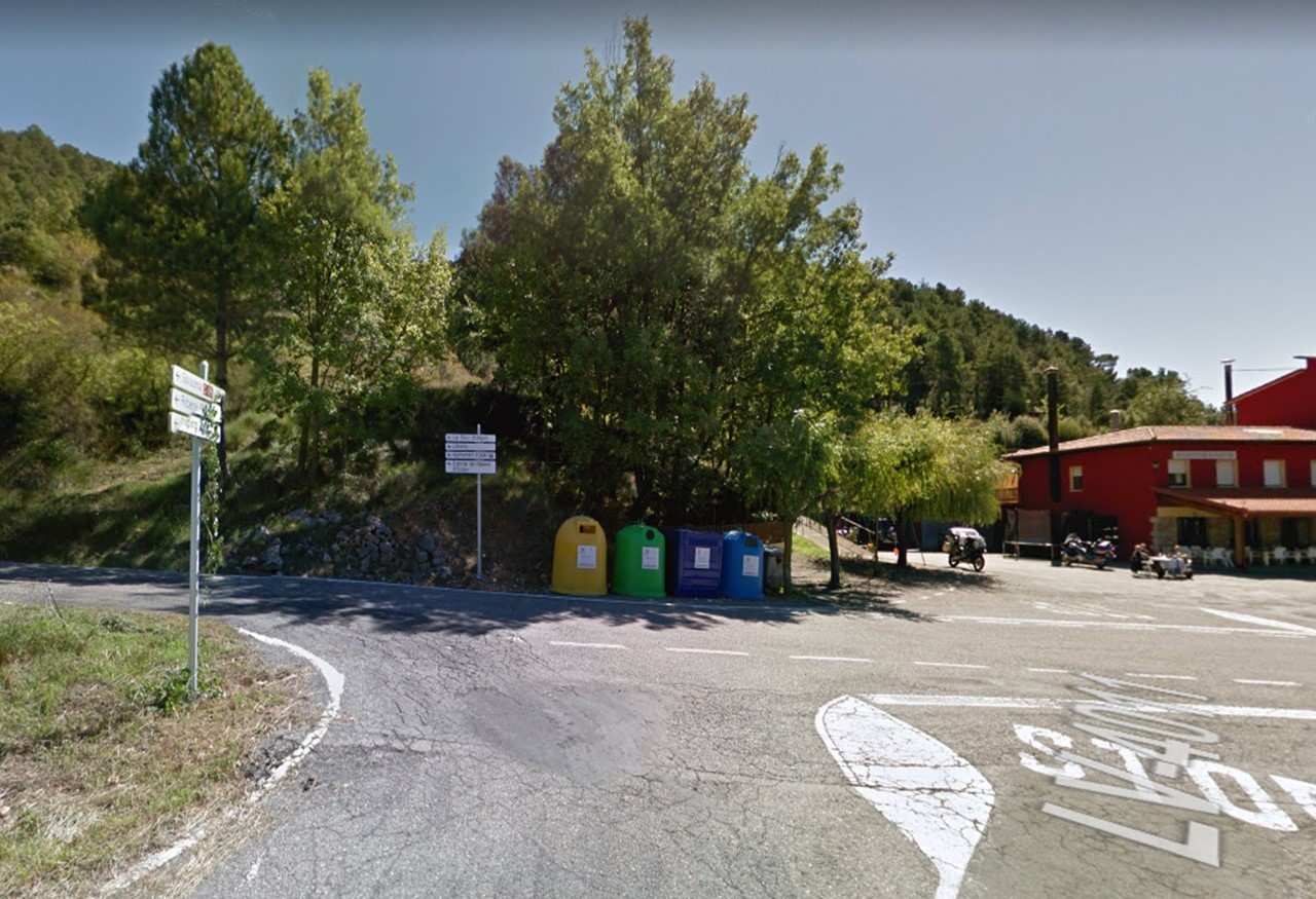
La Pobla de Lillet - Sant Llorenç de Morunys
C-16 y BV-4241
1h6min
56.5
Km
We leave La Pobla de Lillet by Carretera de Ripoll / B402 and continue straight for 2 km approx. At the roundabout we take the third exit and continue on the E9 / C16 along the left branch towards Berga / Barcelona and continue straight for 15 km approx. Then we take the exit towards Vilada / Sant Llorenç de Morunys and continue straight towards BP-4654 (signs for Sant Llorenç de Morunys) about 850m. We join C-1411z and after 300 m we turn right towards BV-4241 for about 19 km. We continue straight on the LV-4241 for about 12 km, until we reach Sant Llorenç de Morunys.
236.2
Km
Kilometer point
C-16 y BV-4241
km
22
Stage 7
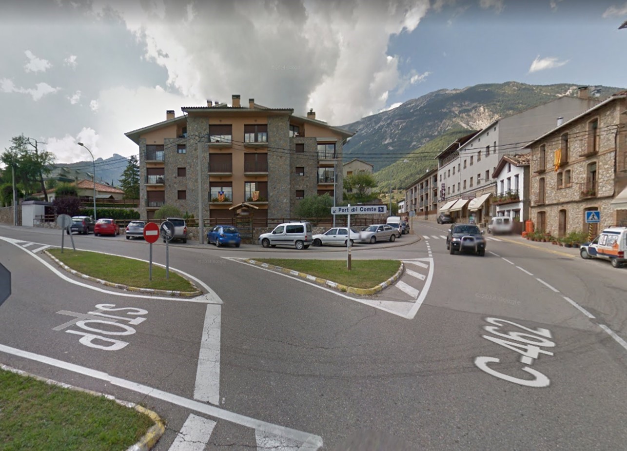
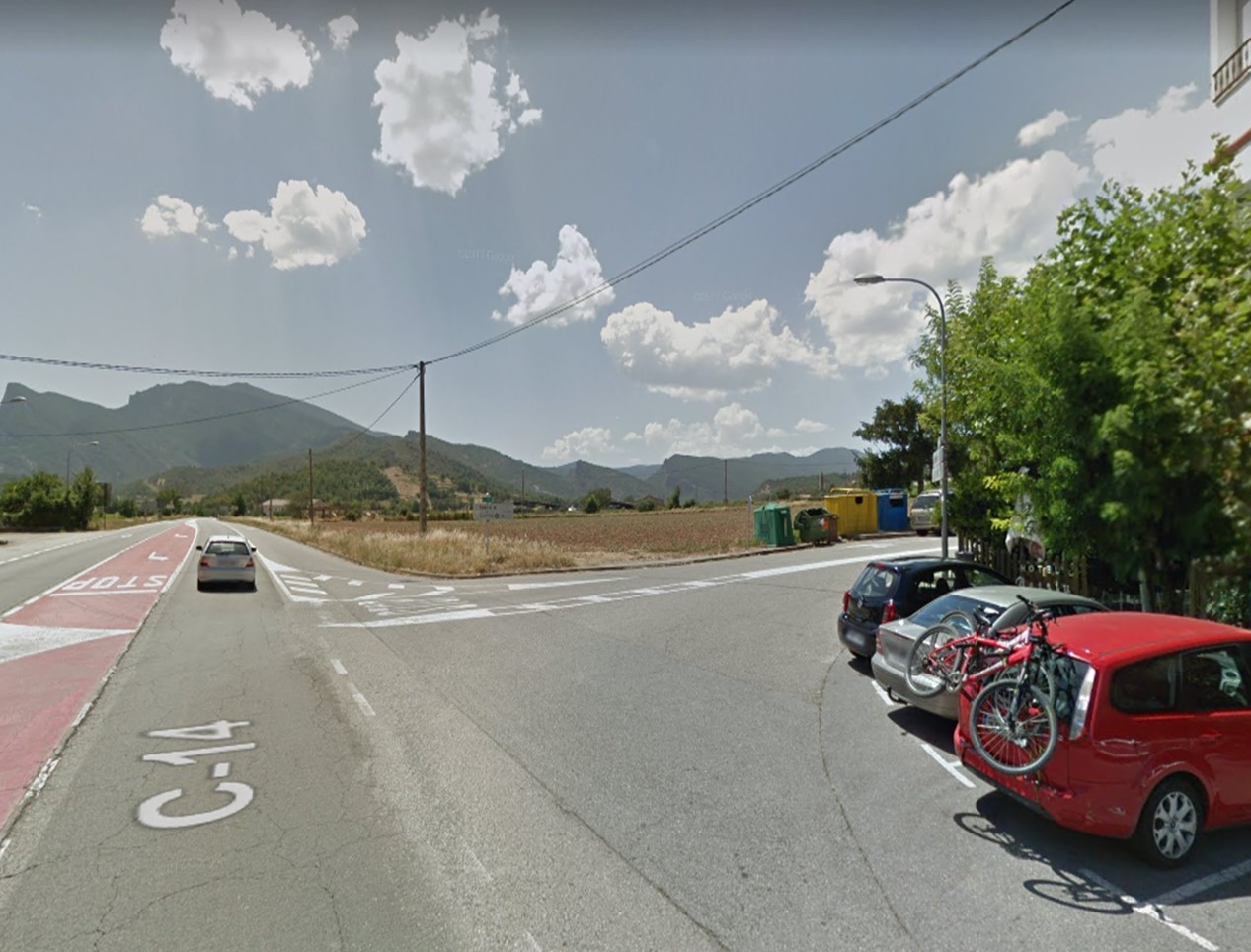
Sant Llorenç de Morunys - Lladurs
LV-4241
28min
24.5
Km
We leave Sant Llorenç de Morunys on the Carretera de Berga / C-462 / LV-4241. After 400m we turn left towards Carretera de Solsona / LV – 4241 and continue on this road for about 24 km, until we reach Lladurs.
260.7
Km
Kilometer point
LV-4241
km
8
Stage 8
Lladurs - Alinya
LV-4011 y L-401
50min
35.1
Km
We left Lladurs turning left towards Camí del Corral and continue on this road for 2.6 km. Then we turn right towards LV-4011 and continue on this road for about 23 km. Then we turn totally left towards L-401 and continue for about 10 km until reaching Alinya.
295.8
Km
Kilometer point
LV-4011 y L-401
km
10
Stage 9
Alinya - Boixols
L-401 y L-511
50min
36.5
Km
We left Alinya for Calle Sol. Within 60m we turn right towards L-401 and continue on this road for approximately 10km. Then we turn left towards C14 and continue straight on for 2.5 km. Then we turn right again towards Carretera Isona / L-511 and continue along this road for 24 km, until we reach Boixols.
332.3
Km
Kilometer point
L-401 y L-511
km
17
Stage 10
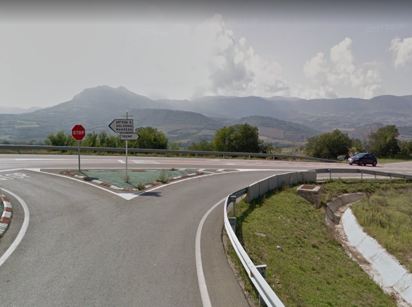
Boixols - Tremp
C-1412b y L-511
39min
34.5
Km
We left Boixols in Carrer Único towards L511. Within a few meters we turn left towards L511 and continue on this road for 16.5km. Then we turn right towards C1412b and continue on this road, following the indications, for approximately 17km. At the roundabout we take the first exit towards Av. D’Espanya / C13 and continue straight for a few meters, until we reach Tremp.
366.8
Km
Kilometer point
C-1412b y L-511
km
59
Stage 11
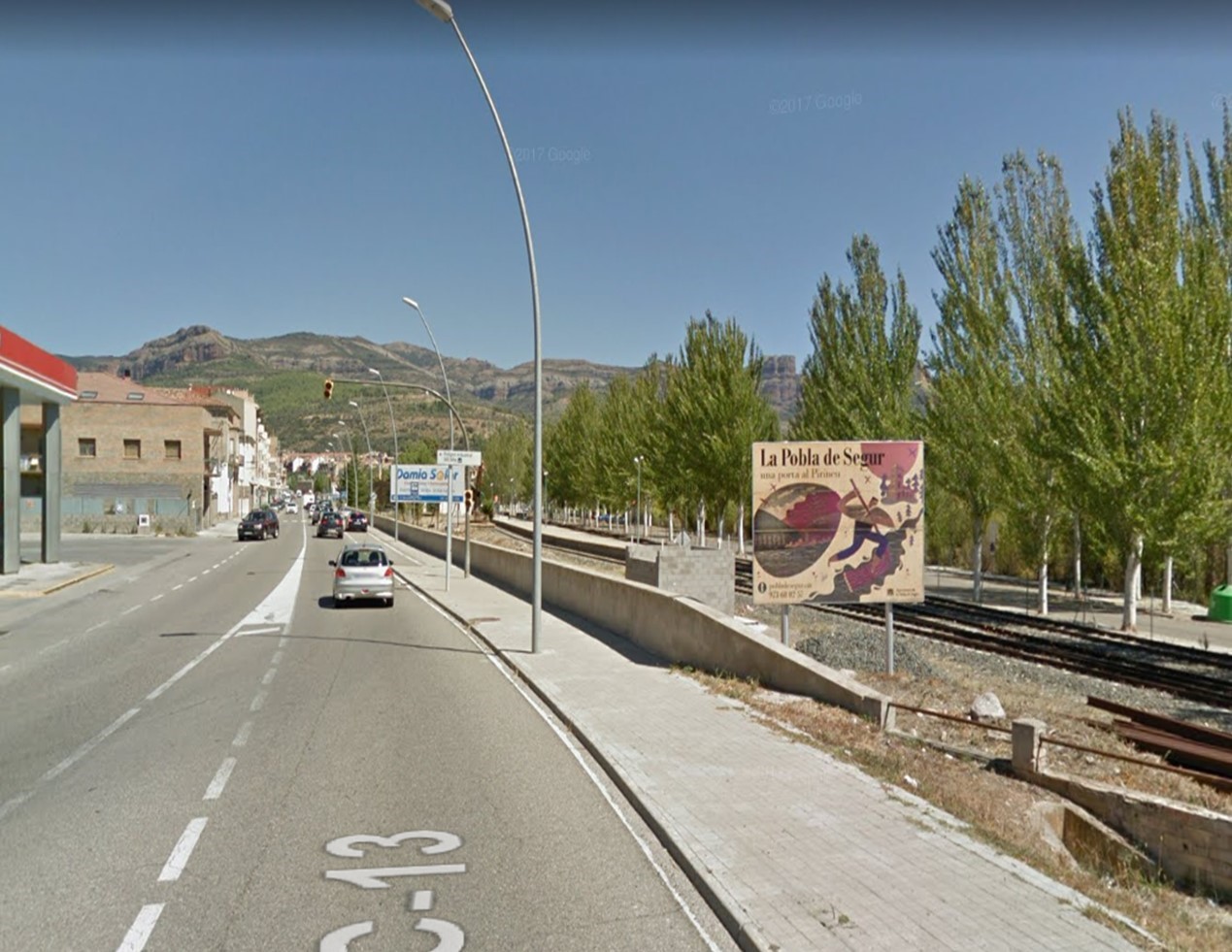
Tremp - La Pobla de Segur
C-13
11min
12
Km
We leave Tremp by the C-13 and continue straight on for 12km, until we reach La Pobla de Segur, to the Craft Brewery C-13.

378.8
Km
Kilometer point
C-13
km
98
Stage 12
La Pobla de Segur - Sort
N260
24min
28
Km
Leaving La Pobla de Segur, at the roundabout we take the first exit towards Sort / N-260 and continue straight for 500 m approx. Then we turn right to continue on N-260 for about 27 km, until we reach Sort.
406.8
Km
Kilometer point
N260
km
281