 English
 Français
 Deutsch
 Español
 Català
Table of Contents
hide
Useful information leading
Motorway: 0
Trunk road: 170
Regional road: 273
Local road: 0
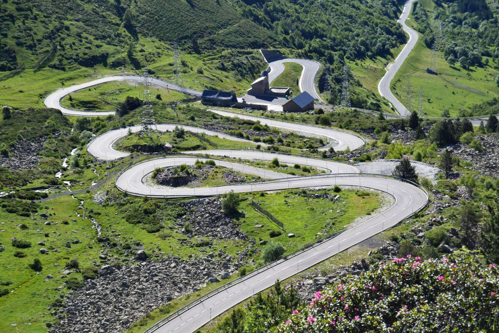
Beautiful route with spectacular views that passes through 3 countries, Spain, Andorra and France, and in which we can enjoy a variety of curves.
Andorra la Vella - capital of Andorra, is known for being a commercial center with luxurious shops that line Meritxell Avenue
Escaldes Engordany - houses the most important thermoludic center in the country (Caldea)
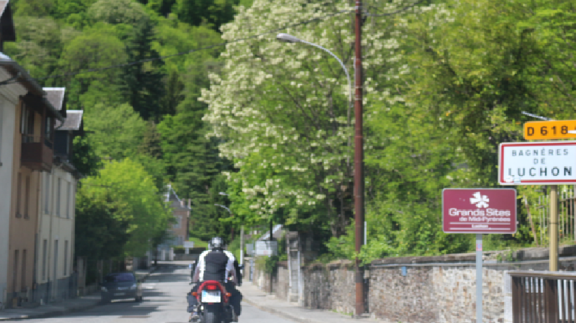
Bagneres de Luchon - is a thermal city, climatic spa, that offers beautiful landscapes, also known as ``The Queen of the Pyrenees``. We can visit: the Museum of the Pays de Luchon, the Baths, Chambert, Church Notre-Dame-de l'Assomption etc.
Escaldes Engordany - houses the most important thermoludic center in the country (Caldea)
Bagneres de Luchon - is a thermal city, climatic spa, that offers beautiful landscapes, also known as ``The Queen of the Pyrenees``. We can visit: the Museum of the Pays de Luchon, the Baths, Chambert, Church Notre-Dame-de l'Assomption etc.
Sort, La Seu d'Urgell, Escaldes, la Massana, Canillo, Gaud, Bossòst, Vielha.
Google map route
Stage 1
Sort - La Seu D'urgell
N260
42min
51.3
Km
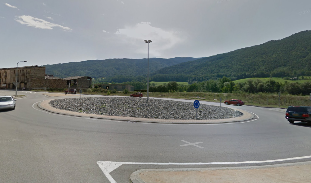
We leave from Sort by the C13 and we continue for a few meters. Arriving at the bridge, we turn left onto the N260 and continue straight on for 45 km approx. At the roundabout we take the second exit in direction La Seu d’urgell and continue straight on the N260 for about 6 km, until we reach Seu D’Urgell.

51.3
Km
Kilometer point
N260
km
279
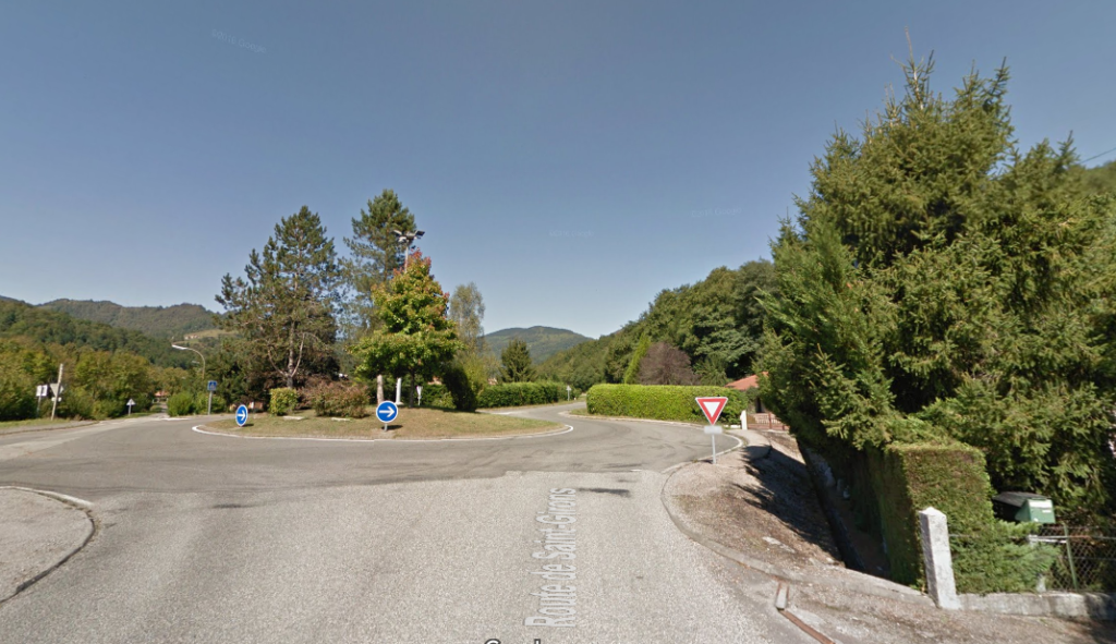
Stage 2
La Seu D'Urgell - Escaldes
N-145 y CG-1
21min
20.5
Km
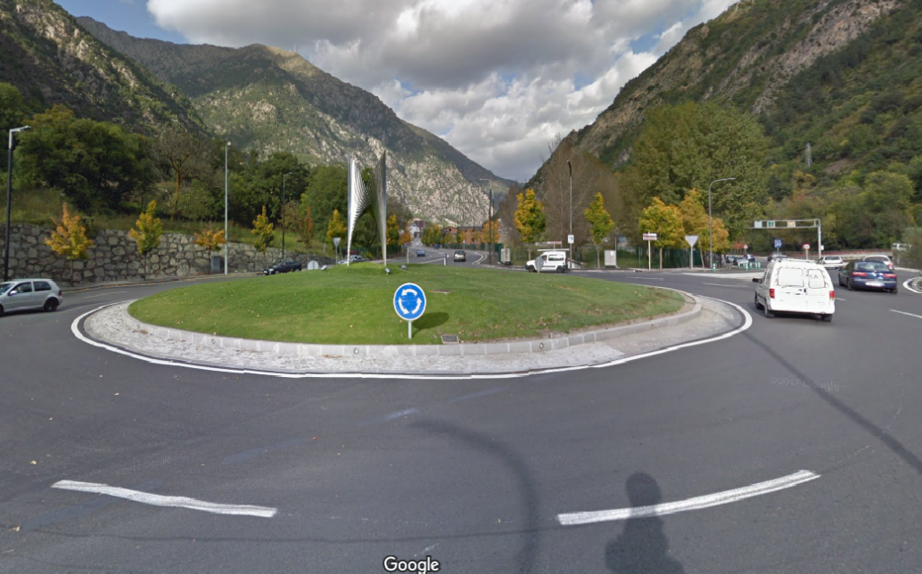
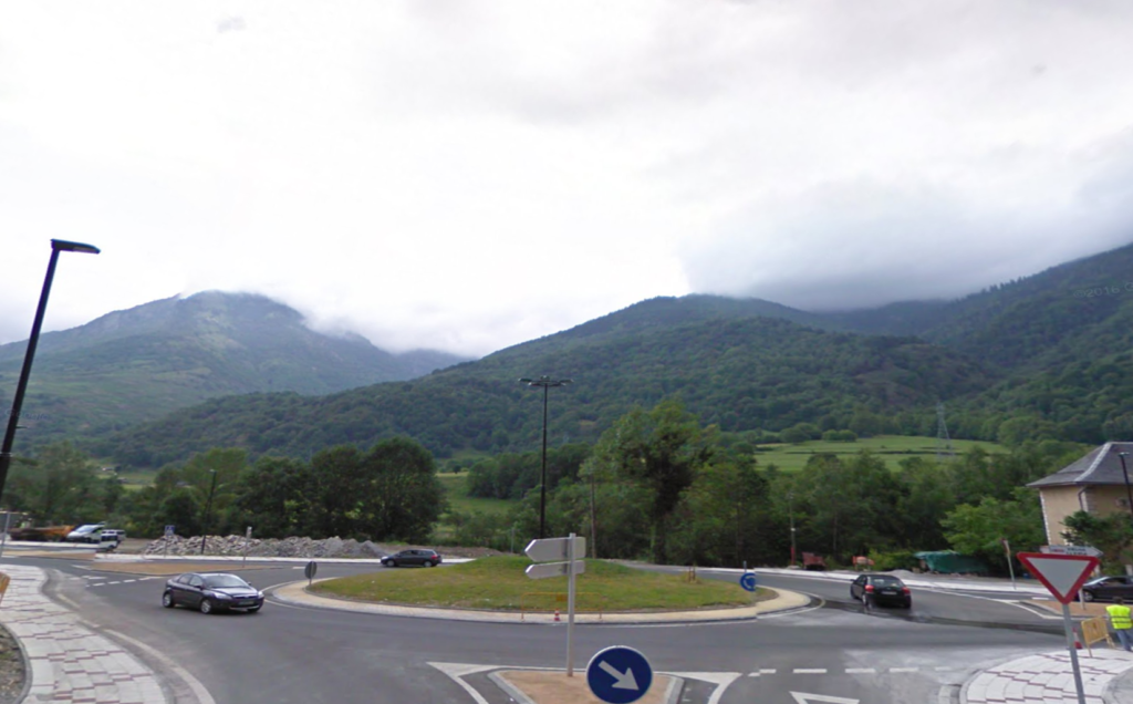
We leave the Seu D’Urgell on the N-145 towards Andorra. At the roundabout we take the third exit towards Andorra and continue straight on this road for 14 km approx. At the next roundabout we take the third exit and continue for 1 km more. We continue along the CG-1 and the indications to Escaldes-Engordany for 6 km, until we reach Escaldes.

71.8
Km
Kilometer point
N-145 y CG-1
km
1
Stage 3
Escaldes - La Massana
CG-3
7min
5.3
Km
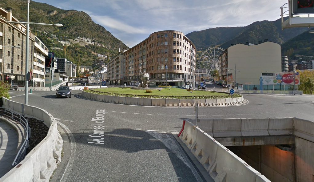
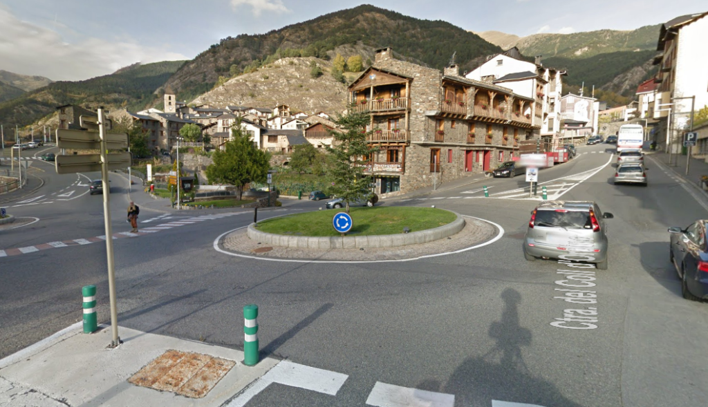
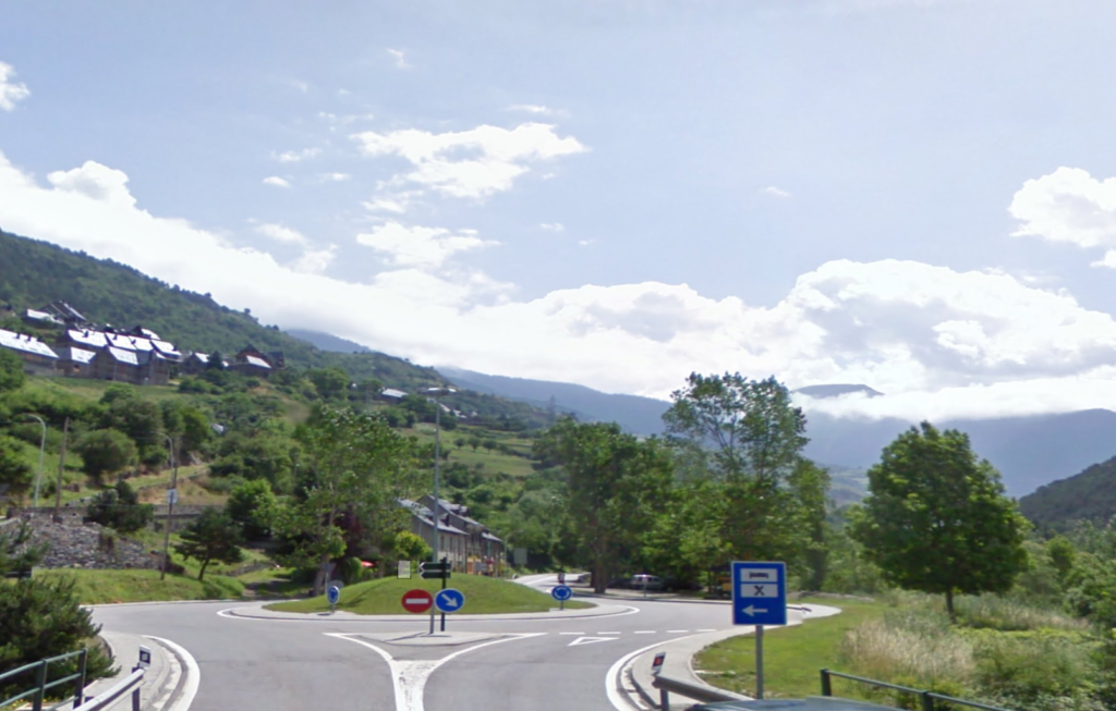
We leave Escaldes by Carrer Copríncep François Mitterrand to Av. Del Consell de la Terra. Then we turn left at the second t-junction for Av. De les Nacions Unides. At the roundabout we take the second exit towards CG-3 and continue straight ahead for about 3 km. In the next 3 roundabouts we take the seconds exits and continue for the CG-3 about 2 km more until we reach La Massana.

77.1
Km
Kilometer point
CG-3
km
4
Stage 4
La Massana - Canillo
CS-240
34min
21.5
Km
We leave La Massana on Av. De Sant Antoni / CG-3. At the roundabout we take the second exit to El Traves Avenue and continue for about 2 km approx. In the next 2 roundabouts we take the second and the first exit towards Ctra. Del Coll d’Ordino and we continue here for about 10 km. Then we continue along the C / Montaup / CS-240 for about 9 km and at the next 2 roundabouts we take the third exits towards CG-2 and follow the indications until we reach Canillo.
98.6
Km
Kilometer point
CS-240
km
8
Stage 5
Canillo - Pas de la casa
CG-2
23min
21.1
Km
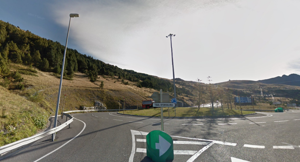
We leave Canillo by the CG-2 towards Encamp and follow the indications towards Encamp about 11 km approx. We keep to the left to continue on the CG-2. At the roundabout we take the second exit towards CG-2 and continue along this road about 9 km approx. Then we follow the signs to El Pas de la Casa 1 km approx.
119.7
Km
Kilometer point
CG-2
km
11
Stage 6
Pas de la casa - Ax les Thermes
N22 y N20
30min
31
Km
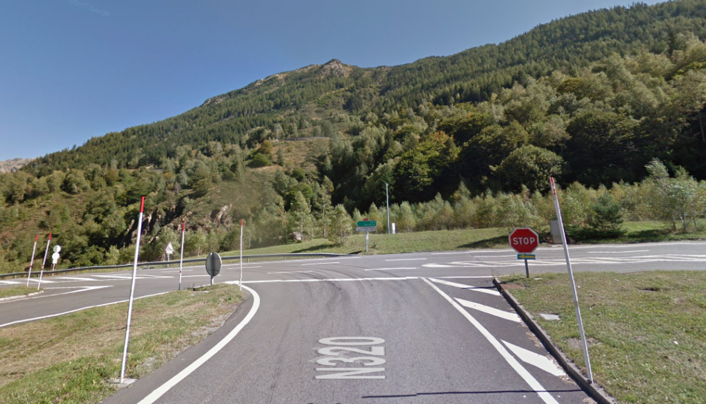
We leave El Pas de la Casa on the N-22 towards L’Hospitalet-prés-Andorra and continue along this road for 12 km approx. Then we turn left onto the N-20 and continue straight on for about 20 km until we reach Ax-les-Thermes.

150.7
Km
Kilometer point
N22 y N20
km
5
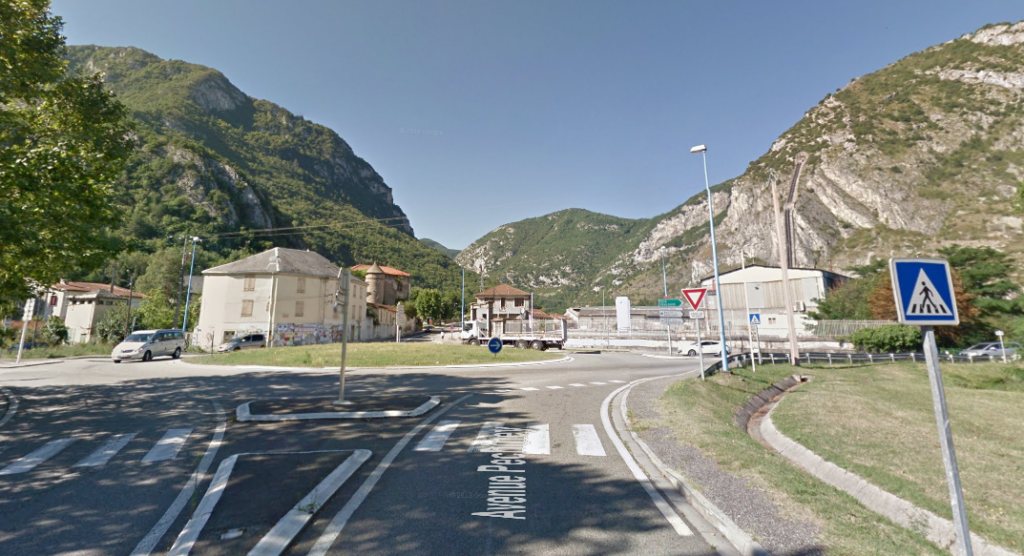
Stage 7
Ax les Thermes - Sabart
N20
18min
24.7
Km
We leave Ax les Thermes on the N20 and continue straight on this road for about 8 km. Then we turn left onto the D2 and follow 1 km approx. We turn left again on the N20 and continue along this road for about 15 km. At the roundabout we take the first exit towards Pechiney Avenue and then turn right. We continue for a few meters until we reach Sabart.
175.4
Km
Kilometer point
Not exist
Stage 8
Sabart - Vicdessos
D8
12min
13.9
Km
We leave Sabart on the D8. At the roundabout we continue straight for about 13 km. We follow the signs until we reach Vicdessos.
189.3
Km
Kilometer point
D8
km
54
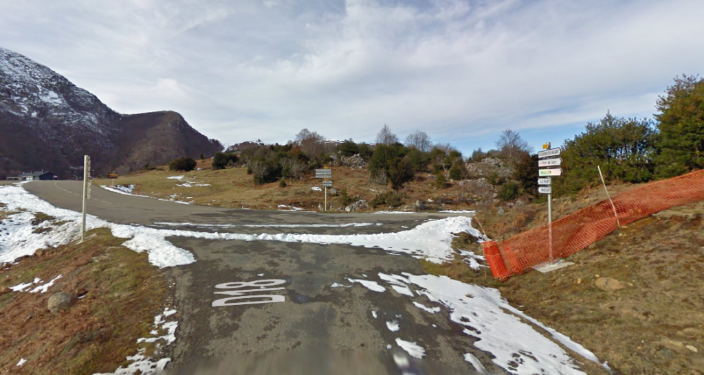
Stage 9
Vicdessos - Aulus les Bains
D18 y D8F
42min
30.5
Km
We left Vicdessos on the D8. We turn left onto Rue Grande Rue / D8 and continue for about 500m. Then we turn right onto Route de Suc / D18 and continue for about 15 km. Then we turn left onto the D8F and continue for about 14 km until we reach Aulus les Bains.

219.3
Km
Kilometer point
D18 y D8F
km
2
Stage 10
Aulus les Bains - Seix
D32
18min
18.9
Km
We leave Aulus les Bains on the D32. At the roundabout we take the second exit on the D32 and follow this road about 16 km approx. At the next roundabout we take the third exit onto D3 and follow this road about 3 km approx, until we reach Seix.
238.2
Km
Kilometer point
Not exist
Stage 11
Seix - Lac de Bethmale
D17
26min
19.1
Km
We leave Seix on the D17. We turn left onto Rue Pujole / D17 and continue for about 4 km approx. Then we turn left again towards Cagomil / D17 and continue for about 10 km prox. Then we turn left onto La Core / D17 and continue for approximately 4 km until reaching Lac de Bethmale.
257.3
Km
Kilometer point
Not exist
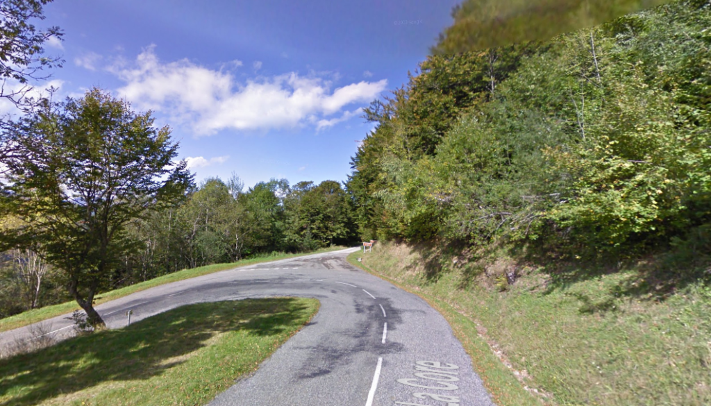
Stage 12
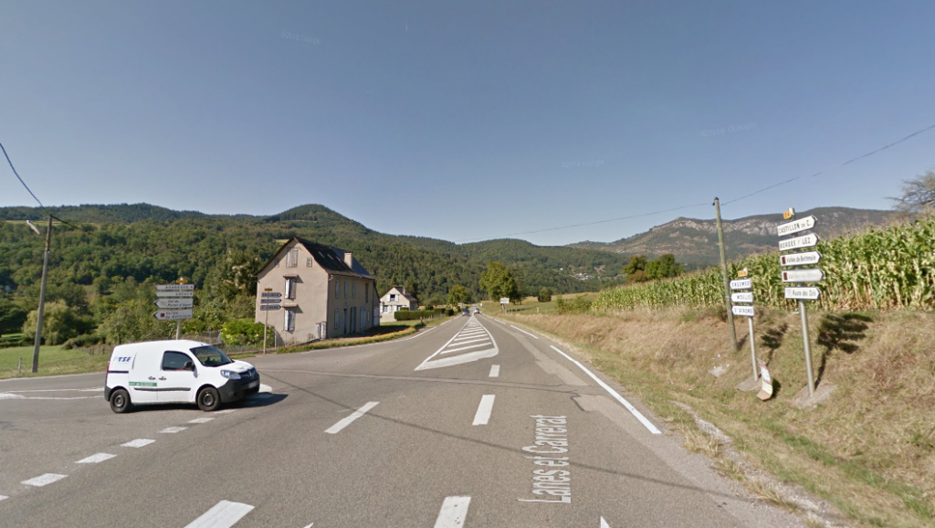
Lac de Bethmale - Audressein
D17
18min
13.1
Km
We leave Lac de Bethmale on the D17 and continue straight on for about 6 km. Then we turn left onto Aret / D17 and continue for approx. 3 km. Then we turn right towards La Hounade / D4 and continue for about 3 km. Turn we left again towards Lanes et Carrerat / D618 and follow the signs until we reach Audressein.
270.4
Km
Kilometer point
D17
km
PR58
Stage 13
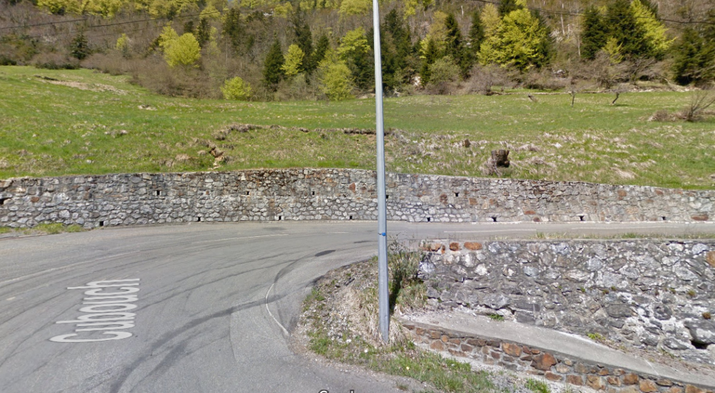
Audressein - Station du Mourtis
D618
41min
34.9
Km
We leave Audressein on the D618 and continue for about 600m. Then we turn right onto the D618 and continue for about 5 km. We turn right again towards Las Vignes / D618 and continue for about 17 km approx. Then we turn left onto the D85 and continue for about 4 km. We turn right again towards Cubouch / D44, continue for approximately 4 km following the signs until we reach Station du Mourtis.

305.3
Km
Kilometer point
Not exist
Stage 14
Station du Mourtis - Gaud
D44
20min
15.9
Km
We leave Station du Mourtis on the D44. We turn left to continue on the D44 and continue straigh on for about 4 km. Afterwards we turn to the right for Rouge / D44 and continue for about 6 km. We continue straight for about 4 km until Gaud.

321.2
Km
Kilometer point
Not exist
Stage 15
Gaud - Bagneres de Luchon
D125
13min
16.1
Km
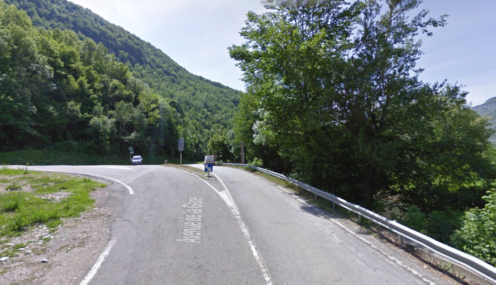
We leave Gaud on the D125. We turn right at the first junction to continue on the D125 and continue straight on for about 15 km. We follow the indications 1 km further towards Bagneres de Luchon.
337.3
Km
Kilometer point
Not exist
Stage 16
Bagneres de Luchon - Bossost
D618A
22min
18.4
Km
We leave Bagneres de Luchon on Avenue J Barrau / D618A and continue along this street about 400 meters. Then we turn right onto Avenue des Pyrenees / D618A and continue along this road for about 9 km until we reach the border with Spain. Then we turn right and continue along this road for about 8 km until we reach Bossost. At the roundabout we take the first exit in direction N230
355.7
Km
Kilometer point
Not exist
Stage 17
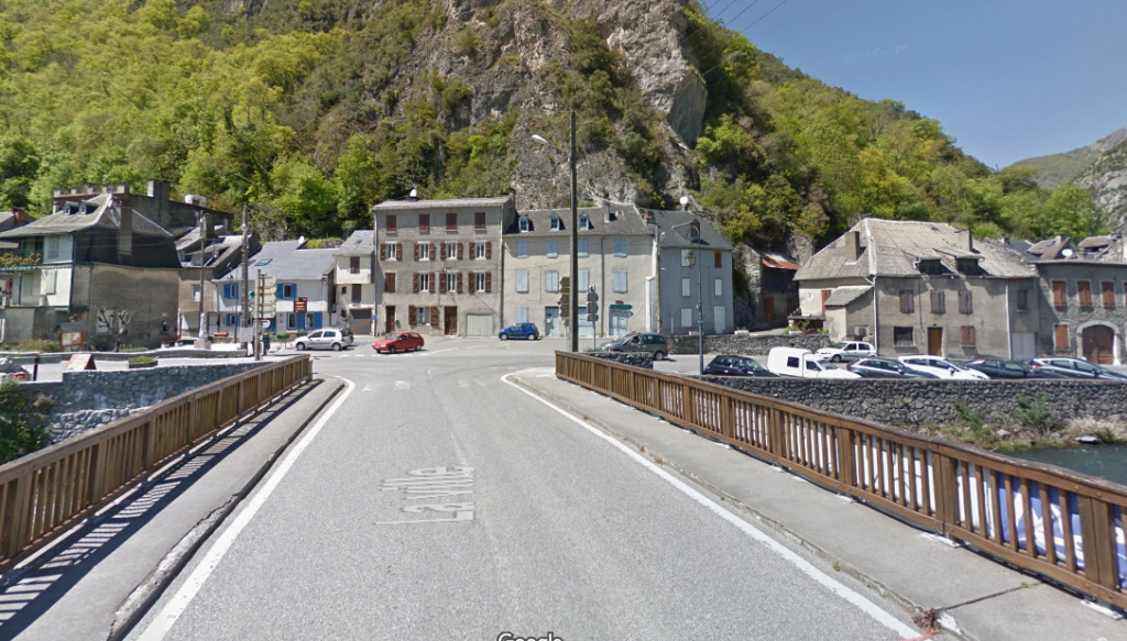
Bossost - Vielha
N260
13min
15.8
Km
We leave from Bossost by the N230, which we follow straight on about 9 km approx. At the roundabout we take the first exit and continue along the N230 about 4 km aprox. At the second roundabout we take the first exit and continue on the N230 approx 1 km. At the third roundabout we take the second exit and continue for 1 km, following the indications, until we reach Vielha.
371.5
Km
Kilometer point
N260
km
178
Stage 18
Vielha - Sort
C28 y C13
58min
71
Km
We leave Vielha on the C28. At the roundabout we take the second exit in the direction of Carr Betren / C28 and continue for about 6 km. At the next roundabout we take the second exit and continue along the C28 about 36 km approx. Then we continue straight on the C13 for about 29 km, following the signs for La Guingueta D’Aneu / Sort.

442.5
Km
Kilometer point
C28 y C13
km
26